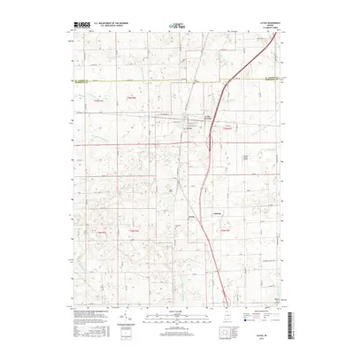
2016 Map of La Paz
USGS Topo · Published 2016About this map
La Paz sits at the heart of this North Central Indiana landscape, where the historical path of the Dixie Hwy and the modern corridor of US 31 intersect. The map illustrates a highly engineered agricultural drainage network essential to the region's productivity, defined by numerous named waterways like Lehman Ditch, William Forsythe Ditch, and Oliver Heekaman Ditch. These man-made improvements speak to the effort required to reclaim the land for farming in Marshall and St. Joseph counties.
Find a feature on this map
80 named features on this map. Tap any name to fly to it.
Don’t see what you’re looking for? This feature index may not catch every label — zoom into the map to look around manually.
Map Details
Editions of this 2016 La Paz Map
This is the sole edition of this map. No revisions or reprints were ever made.
Other maps of this area

1953 · Chicago
USGS Topo · 1:250,000

1957 · Chicago
USGS Topo · 1:250,000

1957 · Inwood
USGS Topo · 1:24,000

1957 · Plymouth
USGS Topo · 1:24,000

1958 · Donaldson
USGS Topo · 1:24,000

1958 · Bremen
USGS Topo · 1:24,000

1958 · La Paz
USGS Topo · 1:24,000

1958 · Walkerton
USGS Topo · 1:24,000

1958 · North Liberty
USGS Topo · 1:24,000

1958 · Lakeville
USGS Topo · 1:24,000