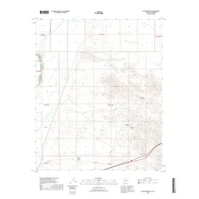
2018 Map of La Paz Mountain
USGS Topo · Published 2018About this map
La Paz Mtn and the Dome Rock Mountains dominate this arid landscape along the Arizona-California border. This survey illustrates the rugged desert topography east of the Great Colorado Valley, where drainage patterns define the local geography. Seasonal watercourses such as Seventy Wash and Gonzales Wash cut through the terrain, while Goodman Slough marks lower-lying areas near the river valley.
Find a feature on this map
27 named features on this map. Tap any name to fly to it.
Don’t see what you’re looking for? This feature index may not catch every label — zoom into the map to look around manually.
Map Details
Editions of this 2018 La Paz Mountain Map
This is the sole edition of this map. No revisions or reprints were ever made.
Other maps of this area

1931 · Moon Mtn
USGS Topo · 1:62,500

1932 · Moon Mtn
USGS Topo · 1:62,500

1933 · Cunningham Mtn
USGS Topo · 1:48,000

1940 · Dome Rock Mts
USGS Topo · 1:62,500

1942 · Blythe
USGS Topo · 1:250,000

1942 · MOON MTN
USGS Topo · 1:62,500

1945 · Big Maria Mtns
USGS Topo · 1:62,500

1951 · Big Maria Mts
USGS Topo · 1:62,500

1951 · Blythe
USGS Topo · 1:24,000

1951 · Blythe NE
USGS Topo · 1:24,000