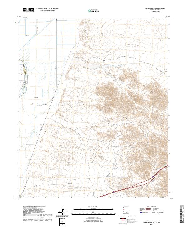
2021 Map of La Paz Mountain
USGS Topo · Published 2021About this map
The Dome Rock Mountains dominate the eastern landscape of this quadrangle, rising sharply above the Great Colorado Valley. This arid terrain is defined by a series of deep drainages such as Sunshine Gulch, Martinez Gulch, and Ferra Gulch that cut westward from the high peaks. Along the western edge, the state boundary between California and Arizona follows the path of the Colorado River, though the map reveals an intricate system of backwaters and agricultural infrastructure including Goodman Slough and the Mesa Drain.
Find a feature on this map
30 named features on this map. Tap any name to fly to it.
Don’t see what you’re looking for? This feature index may not catch every label — zoom into the map to look around manually.
Map Details
Editions of this 2021 La Paz Mountain Map
This is the sole edition of this map. No revisions or reprints were ever made.
Other maps of this area

1931 · Moon Mtn
USGS Topo · 1:62,500

1932 · Moon Mtn
USGS Topo · 1:62,500

1933 · Cunningham Mtn
USGS Topo · 1:48,000

1940 · Dome Rock Mts
USGS Topo · 1:62,500

1942 · Blythe
USGS Topo · 1:250,000

1942 · MOON MTN
USGS Topo · 1:62,500

1945 · Big Maria Mtns
USGS Topo · 1:62,500

1951 · Big Maria Mts
USGS Topo · 1:62,500

1951 · Blythe
USGS Topo · 1:24,000

1951 · Blythe NE
USGS Topo · 1:24,000