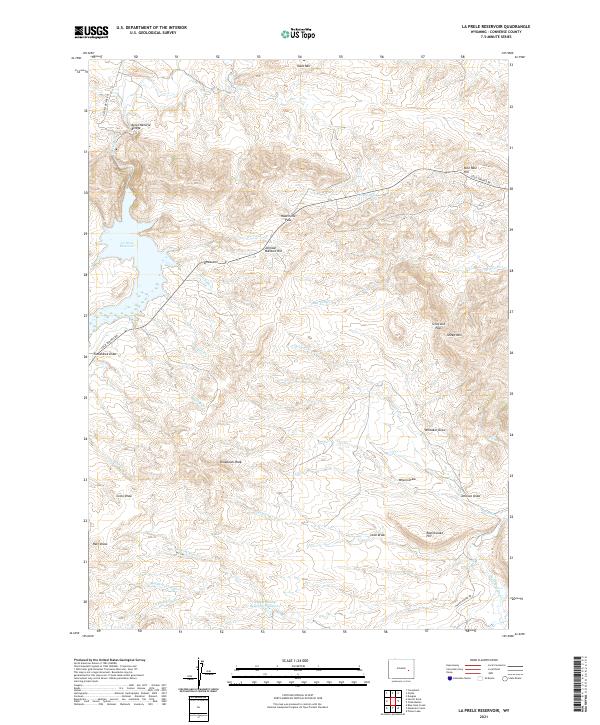
2021 Map of La Prele Reservoir
USGS Topo · Published 2021About this map
Ayres Natural Bridge stands as a prominent geological landmark in this high-altitude landscape of Converse County, Wyoming. The terrain is defined by a series of significant elevations including Table Mtn, Tomahawk Peak, and Sheep Mtn, interspersed with a complex network of seasonal and perennial drainages. Water management is central to the area's geography, anchored by the La Prele Reservoir and the more remote Center Realty Reservoir Number 1.
Find a feature on this map
43 named features on this map. Tap any name to fly to it.
Don’t see what you’re looking for? This feature index may not catch every label — zoom into the map to look around manually.
Map Details
Editions of this 2021 La Prele Reservoir Map
This is the sole edition of this map. No revisions or reprints were ever made.
Other maps of this area

1949 · Orpha
USGS Topo · 1:24,000

1949 · Careyhurst
USGS Topo · 1:24,000

1949 · Poison Lake
USGS Topo · 1:24,000

1949 · Douglas
USGS Topo · 1:24,000

1949 · Chalk Buttes
USGS Topo · 1:24,000

1950 · Careyhurst
USGS Topo · 1:24,000

1950 · Poison Lake
USGS Topo · 1:24,000

1950 · Douglas
USGS Topo · 1:24,000

1950 · Orpha
USGS Topo · 1:24,000
1950 · Chalk Buttes
USGS Topo · 1:24,000