
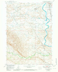
1949 Map of Chalk Buttes
USGS Topo · Published 1975About this map
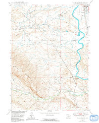
The North Platte River winds through this Converse County landscape, anchored by the town of Douglas in the northeast. The terrain is defined by the prominent Chalk Buttes and the high elevation of Sheep Mountain to the south, while several drainages including Wagon Hound Creek and Bed Tick Creek carve through the foothills. This mid-century survey documents a vital transportation corridor where the Chicago and North Western and Chicago Burlington and Quincy railroads parallel the river.
Find a feature on this map
18 named features on this map. Tap any name to fly to it.
Don’t see what you’re looking for? This feature index may not catch every label — zoom into the map to look around manually.
Map Details
Editions of this 1949 Chalk Buttes Map
3 editions found
Other maps of this area

1949 · Orpha
USGS Topo · 1:24,000

1949 · Irvine
USGS Topo · 1:24,000

1949 · Poison Lake
USGS Topo · 1:24,000

1949 · Douglas
USGS Topo · 1:24,000

1949 · Dilts Ranch
USGS Topo · 1:24,000

1949 · Antelope Creek
USGS Topo · 1:24,000

1950 · Poison Lake
USGS Topo · 1:24,000

1950 · Douglas
USGS Topo · 1:24,000

1950 · Orpha
USGS Topo · 1:24,000
1950 · Irvine
USGS Topo · 1:24,000