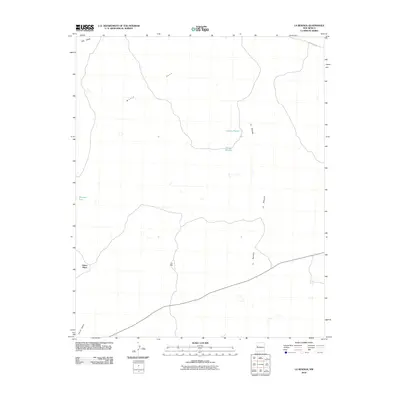
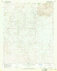
2010 Map of La Rendija
USGS Topo · Published 2010About this map
Julian Place and Luis Well anchor this high-desert region of the Eastern Navajo Agency, representing the sparse but vital human footprint in a landscape defined by seasonal water management. The terrain is characterized by the long drainage of La Rendija and the open plains of The Vega, where survival has traditionally depended on scattered infrastructure like Montoso Tank and Tanque Pendejo. In the north, Monte Seco and Laguna Macho further illustrate the importance of identifying and naming every catchment and water source in this arid New Mexico environment. To the south, Cerro Gatos rises above the basin, while County Rd-42 provides one of the few formal routes through this quiet expanse of rangeland.
Find a feature on this map
10 named features on this map. Tap any name to fly to it.
Don’t see what you’re looking for? This feature index may not catch every label — zoom into the map to look around manually.
Map Details
Editions of this 2010 La Rendija Map
This is the sole edition of this map. No revisions or reprints were ever made.
Other maps of this area

1954 · Saint Johns
USGS Topo · 1:250,000

1957 · Saint Johns
USGS Topo · 1:250,000

1958 · Saint Johns
USGS Topo · 1:250,000

1962 · Saint Johns
USGS Topo · 1:250,000
1967 · Ice Caves SE
USGS Topo · 1:24,000
1967 · York Ranch SE
USGS Topo · 1:24,000
1967 · Cerro Brillante
USGS Topo · 1:24,000

1967 · Cerro Alto
USGS Topo · 1:24,000
1967 · York Ranch
USGS Topo · 1:24,000

1967 · Veteado Mountain
USGS Topo · 1:24,000