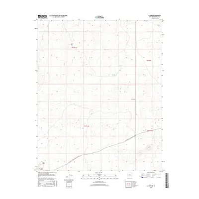
2017 Map of La Rendija
USGS Topo · Published 2017About this map
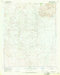
The Continental Divide National Scenic Trail cuts a diagonal path across this arid landscape, highlighting the high-elevation geography of Cibola County. This modern survey illustrates a region defined by scattered water catchments and prominent landforms, such as the peak of Monte Seco and the slopes of Cerro Gatos. Local names reflect the Spanish influence on the region's history and topography, seen in features like La Rendija and Laguna Macho. The presence of Montoso Tank and Tanque Pendejo underscores the importance of water management in this high-desert environment. Navigational markers like Co RD 42 provide context for the few established routes that traverse these townships, offering researchers a look at how contemporary infrastructure interacts with a preserved natural corridor.
Find a feature on this map
12 named features on this map. Tap any name to fly to it.
Don’t see what you’re looking for? This feature index may not catch every label — zoom into the map to look around manually.
Map Details
Editions of this 2017 La Rendija Map
This is the sole edition of this map. No revisions or reprints were ever made.
Other maps of this area

1954 · Saint Johns
USGS Topo · 1:250,000

1957 · Saint Johns
USGS Topo · 1:250,000

1958 · Saint Johns
USGS Topo · 1:250,000

1962 · Saint Johns
USGS Topo · 1:250,000
1967 · Ice Caves SE
USGS Topo · 1:24,000
1967 · York Ranch SE
USGS Topo · 1:24,000
1967 · Cerro Brillante
USGS Topo · 1:24,000

1967 · Cerro Alto
USGS Topo · 1:24,000
1967 · York Ranch
USGS Topo · 1:24,000

1967 · Veteado Mountain
USGS Topo · 1:24,000