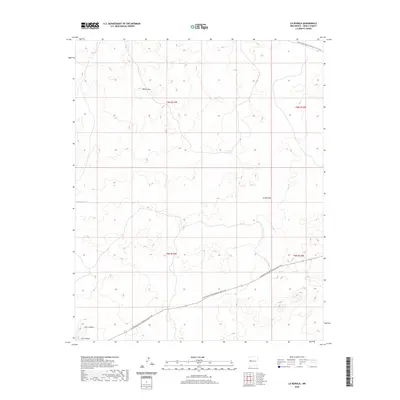
2020 Map of La Rendija
USGS Topo · Published 2020About this map
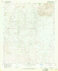
The Continental Divide National Scenic Trail winds through the high-desert landscape of Cibola County, following the natural contours of the southwestern New Mexico terrain. This 2020 survey highlights the prominence of isolated peaks and drainage basins, most notably the high point at Monte Seco and the volcanic-related landform of Cerro Gatos. The area's water management for ranching or local wildlife is evident through named features like Montoso Tank, Tanque Pendejo, and Laguna Macho, which serve as vital resources in an otherwise arid environment. This region, known as La Rendija, exhibits a sparse network of roads and trails that prioritize the natural geography over dense human settlement. The map provides a contemporary view of the intersection between recreational preservation and the traditional landscape of the Eastern Navajo Agency.
Find a feature on this map
11 named features on this map. Tap any name to fly to it.
Don’t see what you’re looking for? This feature index may not catch every label — zoom into the map to look around manually.
Map Details
Editions of this 2020 La Rendija Map
This is the sole edition of this map. No revisions or reprints were ever made.
Other maps of this area

1954 · Saint Johns
USGS Topo · 1:250,000

1957 · Saint Johns
USGS Topo · 1:250,000

1958 · Saint Johns
USGS Topo · 1:250,000

1962 · Saint Johns
USGS Topo · 1:250,000
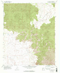
1967 · Ice Caves SE
USGS Topo · 1:24,000
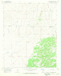
1967 · York Ranch SE
USGS Topo · 1:24,000
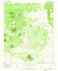
1967 · Cerro Brillante
USGS Topo · 1:24,000

1967 · Cerro Alto
USGS Topo · 1:24,000
1967 · York Ranch
USGS Topo · 1:24,000

1967 · Veteado Mountain
USGS Topo · 1:24,000