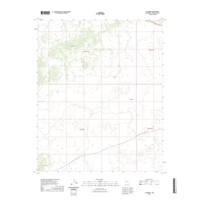
2023 Map of La Rendija
USGS Topo · Published 2023About this map
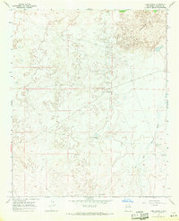
The Continental Divide National Scenic Trl winds through this high-elevation landscape of western New Mexico, crossing through several townships including t5n r13w and t5n r12w. The terrain is defined by volcanic features and high-desert landmarks such as Monte Seco and Cerro Gatos. In an area where water is a critical resource for ranching and wildlife, the map identifies specific catchments and seasonal pools like Laguna Macho, Tanque Pendejo, and Montoso Tank. This modern survey illustrates the current intersection of recreational trails with traditional land management and drainage patterns like La Rendija, providing a precise view of the topography in Cibola County.
Find a feature on this map
12 named features on this map. Tap any name to fly to it.
Don’t see what you’re looking for? This feature index may not catch every label — zoom into the map to look around manually.
Map Details
Editions of this 2023 La Rendija Map
This is the sole edition of this map. No revisions or reprints were ever made.
Other maps of this area

1954 · Saint Johns
USGS Topo · 1:250,000

1957 · Saint Johns
USGS Topo · 1:250,000

1958 · Saint Johns
USGS Topo · 1:250,000

1962 · Saint Johns
USGS Topo · 1:250,000
1967 · Ice Caves SE
USGS Topo · 1:24,000
1967 · York Ranch SE
USGS Topo · 1:24,000
1967 · Cerro Brillante
USGS Topo · 1:24,000

1967 · Cerro Alto
USGS Topo · 1:24,000
1967 · York Ranch
USGS Topo · 1:24,000

1967 · Veteado Mountain
USGS Topo · 1:24,000