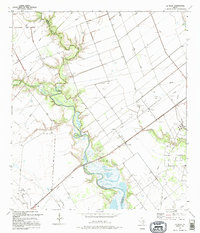
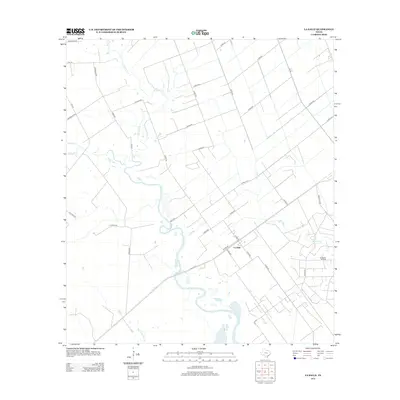
1995 Map of La Salle
USGS Topo · Published 1995About this map
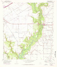
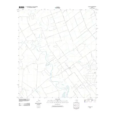
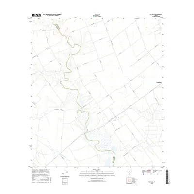
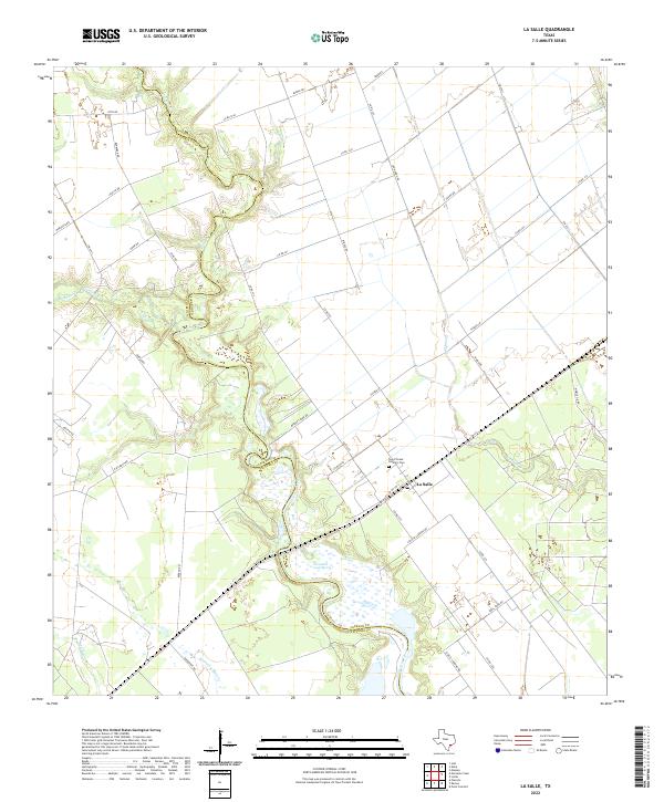
Garcitas Creek winds through the heart of this coastal prairie landscape, forming a natural boundary between Victoria and Jackson counties. The small settlement of La Salle serves as a focal point in an area largely defined by agricultural and industrial activity, featuring an extensive network of pipelines and numerous oil wells and drill holes. The terrain is marked by engineered modifications including several levees and drainage paths like Atenosa Creek and Venado Creek. Public recreation and infrastructure are concentrated along the water at Bennett Park, which provides a boat ramp for access to the creek system. This 1995 revision reflects the modern energy-driven economy of the Texas Gulf Coast, showing the distribution of storage bins, substations, and a radio tower across the ranch and field lands.
Find a feature on this map
30 named features on this map. Tap any name to fly to it.
Don’t see what you’re looking for? This feature index may not catch every label — zoom into the map to look around manually.
Map Details
Editions of this 1995 La Salle Map
This is the sole edition of this map. No revisions or reprints were ever made.
Historical Maps of La Salle Through Time
46 maps found
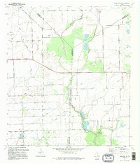
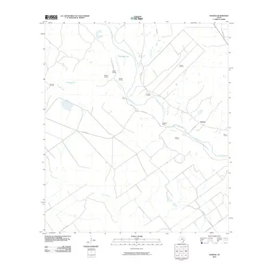
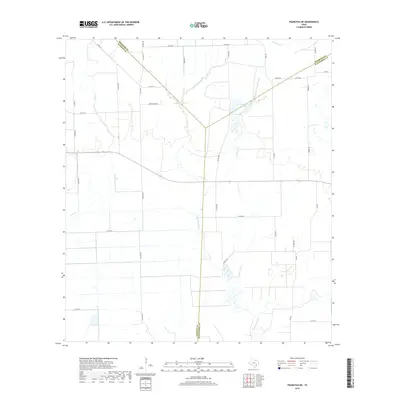
1952 Francitas NE
Jackson County, TX
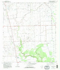
1952 Francitas NW
Jackson County, TX
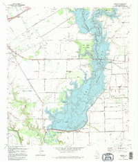
1952 La Salle
Jackson County, TX
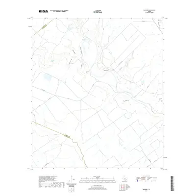
1952 Manson
Jackson County, TX
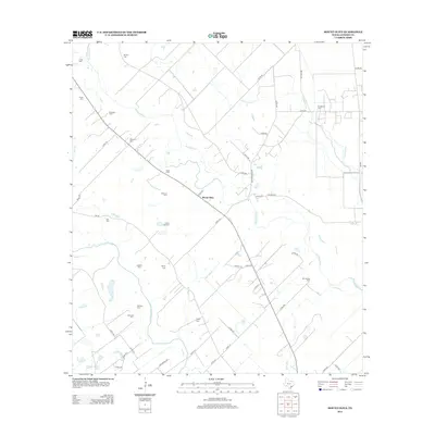
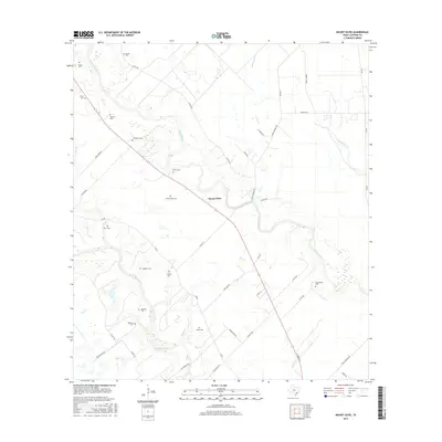
1963 Mount Olive
Jackson County, TX
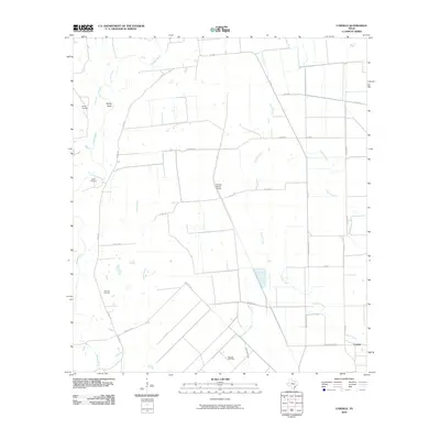
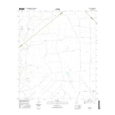
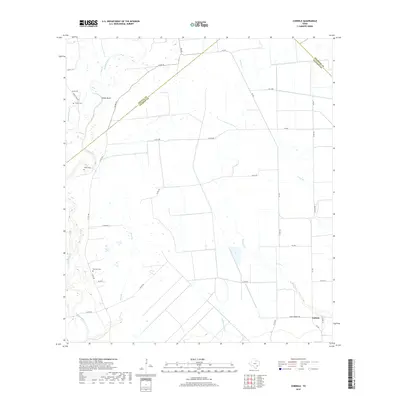
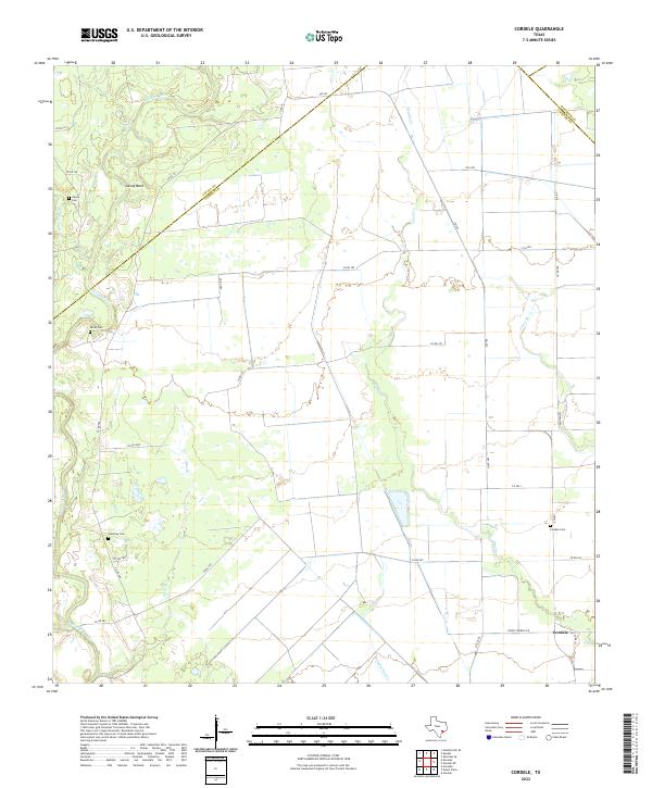
1964 Cordele
Jackson County, TX
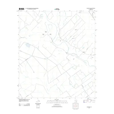
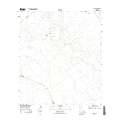
1964 Navidad
Jackson County, TX
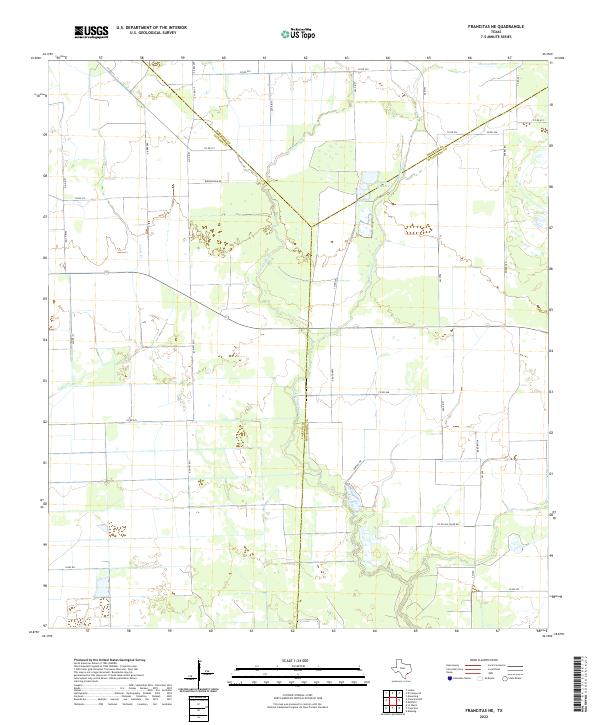
1995 Francitas NE
Jackson County, TX
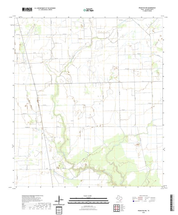
1995 Francitas NW
Jackson County, TX
1995 La Salle
Jackson County, TX
1995 Manson
Jackson County, TX
2010 Cordele
Jackson County, TX
2010 Francitas NE
Jackson County, TX
2010 Francitas NW
Jackson County, TX
2010 La Salle
Jackson County, TX

2010 Manson
Jackson County, TX
2010 Mount Olive
Jackson County, TX
2010 Navidad
Jackson County, TX
2013 Cordele
Jackson County, TX
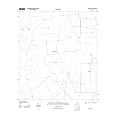
2013 Francitas NE
Jackson County, TX
2013 Francitas NW
Jackson County, TX
2013 La Salle
Jackson County, TX

2013 Manson
Jackson County, TX
2013 Mount Olive
Jackson County, TX
2013 Navidad
Jackson County, TX
2016 Cordele
Jackson County, TX
2016 Francitas NE
Jackson County, TX
2016 Francitas NW
Jackson County, TX
2016 La Salle
Jackson County, TX
2016 Manson
Jackson County, TX
2016 Mount Olive
Jackson County, TX
2016 Navidad
Jackson County, TX
2019 Cordele
Jackson County, TX
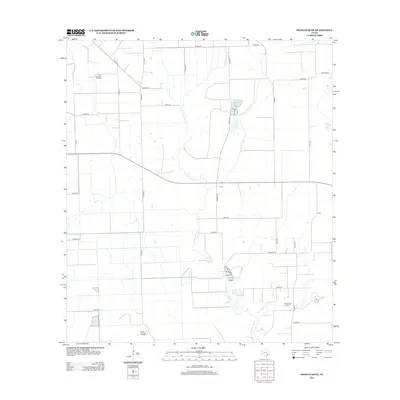
2019 Francitas NE
Jackson County, TX
2019 Francitas NW
Jackson County, TX
2019 La Salle
Jackson County, TX
2019 Manson
Jackson County, TX
2019 Mount Olive
Jackson County, TX
2019 Navidad
Jackson County, TX
2022 Cordele
Jackson County, TX
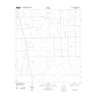
2022 Francitas NE
Jackson County, TX
2022 Francitas NW
Jackson County, TX
2022 La Salle
Jackson County, TX
2022 Manson
Jackson County, TX
2022 Mount Olive
Jackson County, TX
2022 Navidad
Jackson County, TX