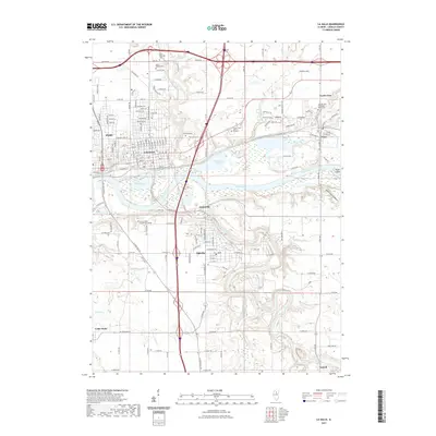
2021 Map of La Salle
USGS Topo · Published 2021About this map
The Illinois River corridor anchors this modern topographic perspective, detailing the dense industrial and residential layout of Peru and La Salle. The confluence where the Little Vermilion River meets the larger waterway highlights the area's historical reliance on river geography for development. Moving south, the terrain transitions into the more open spaces of Oglesby and Jonesville, where the presence of Illinois Valley Community College and Forest Lawn Memory Gardens signifies the shift toward educational and institutional land use in the latter half of the 20th century.
Find a feature on this map
94 named features on this map. Tap any name to fly to it.
Don’t see what you’re looking for? This feature index may not catch every label — zoom into the map to look around manually.
Map Details
Editions of this 2021 La Salle Map
This is the sole edition of this map. No revisions or reprints were ever made.
Other maps of this area

1892 · Ottawa
USGS Topo · 1:62,500

1893 · Lasalle
USGS Topo · 1:62,500

1911 · La Salle
USGS Topo · 1:62,500

1913 · La Salle
USGS Topo · 1:62,500

1915 · Ottawa
USGS Topo · 1:62,500

1925 · Streator
USGS Topo · 1:62,500

1927 · Streator
USGS Topo · 1:62,500

1934 · Wenona
USGS Topo · 1:48,000

1939 · Wenona
USGS Topo · 1:62,500

1946 · Ottawa
USGS Topo · 1:62,500