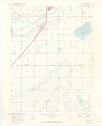
1951 Map of La Salle
USGS Topo · Published 1970About this map
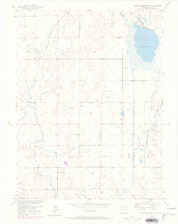
The South Platte River carves through this agricultural landscape in Weld County, defining a complex network of early water management and transport infrastructure. Irrigation systems like the Latham Ditch, Union Ditch, and Evans Ditch crisscross the terrain, supporting the farms surrounding the rail-centered community of La Salle. The town's significance as a transportation node is evident in the converging lines of the Union Pacific railroad, which historically shaped the growth of local settlements like Evans and Hambert.
Find a feature on this map
31 named features on this map. Tap any name to fly to it.
Don’t see what you’re looking for? This feature index may not catch every label — zoom into the map to look around manually.
Map Details
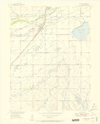
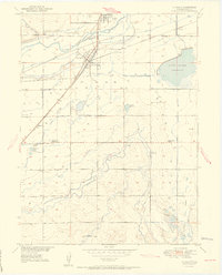
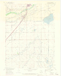
Editions of this 1951 La Salle Map
4 editions found
Other maps of this area

1902 · Greeley
USGS Topo · 1:125,000

1949 · Platteville
USGS Topo · 1:24,000

1950 · Greeley
USGS Topo · 1:24,000

1950 · Platteville
USGS Topo · 1:24,000

1950 · Kersey
USGS Topo · 1:24,000

1950 · Bracewell
USGS Topo · 1:24,000

1950 · Milliken
USGS Topo · 1:24,000

1950 · Klug Ranch
USGS Topo · 1:24,000

1950 · Valley View School
USGS Topo · 1:24,000
1950 · Milton Reservoir
USGS Topo · 1:24,000