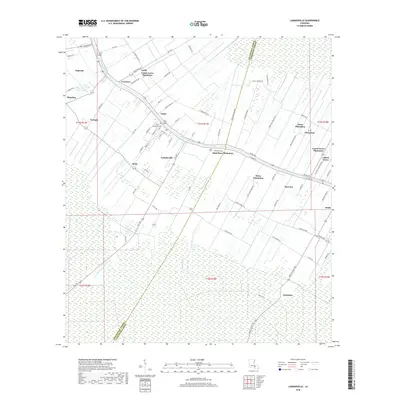
2018 Map of Labadieville
USGS Topo · Published 2018About this map
Bayou Lafourche serves as the primary axis for this Louisiana landscape, where the traditional long-lot land pattern extends away from the water. This survey illustrates the dense concentration of agricultural estates and settlements that line the bayou, including Labadieville and Brule. The transition from riverine commerce to industrial processing is evident at the Supreme Sugar Pond, which anchors the northwestern portion of the map near Supreme.
Find a feature on this map
87 named features on this map. Tap any name to fly to it.
Don’t see what you’re looking for? This feature index may not catch every label — zoom into the map to look around manually.
Map Details
Editions of this 2018 Labadieville Map
This is the sole edition of this map. No revisions or reprints were ever made.
Other maps of this area

1892 · Gibson
USGS Topo · 1:62,500

1892 · Thibodaux
USGS Topo · 1:62,500

1897 · Gibson
USGS Topo · 1:62,500

1927 · Thibodaux NW
USGS Topo · 1:31,680

1932 · Thibodaux NE
USGS Topo · 1:31,680

1932 · Thibodaux SE
USGS Topo · 1:31,680

1932 · Thibodaux SW
USGS Topo · 1:31,680

1935 · Morgan City
USGS Topo · 1:62,500

1938 · Labadieville
USGS Topo · 1:24,000
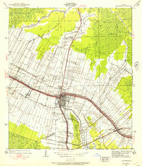
1938 · Lafourche
USGS Topo · 1:24,000