
1973 Map of LaBolt
USGS Topo · Published 1976About this map
La Bolt serves as the central hub of this eastern South Dakota landscape, where the Burlington Northern line and an Old Railroad Grade converge near the town center. The settlement is defined by local civic landmarks like the Townhall and La Bolt Lake, with its nearby Gravel Pit Park. To the west, the smaller community of Strand sits amidst a grid of agricultural sections divided between Madison and Georgia townships. The topography is shaped by the South Fork Yellow Bank River, which flows through the southern half of the quadrangle toward the Mud Lake State Public Shooting Area. Genealogists and local historians can locate burial sites at Bethel Cem in the northwest and La Bolt Cem just east of the village, providing clear points of reference for tracing family roots in this rural prairie region during the early 1970s.
Find a feature on this map
19 named features on this map. Tap any name to fly to it.
Don’t see what you’re looking for? This feature index may not catch every label — zoom into the map to look around manually.
Map Details
Editions of this 1973 LaBolt Map
This is the sole edition of this map. No revisions or reprints were ever made.
Other maps of this area

1953 · Milbank
USGS Topo · 1:250,000

1953 · Watertown
USGS Topo · 1:250,000

1958 · Milbank
USGS Topo · 1:250,000

1958 · Watertown
USGS Topo · 1:250,000

1970 · Goodwin
USGS Topo · 1:24,000

1973 · Twin Brooks
USGS Topo · 1:24,000

1973 · Tunerville
USGS Topo · 1:24,000
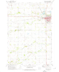
1973 · Milbank West
USGS Topo · 1:24,000

1973 · Stockholm
USGS Topo · 1:24,000
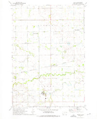
1973 · Revillo
USGS Topo · 1:24,000