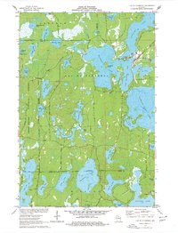
1971 Map of Lac Du Flambeau
USGS Topo · Published 1977About this map
The Lac du Flambeau community and its surrounding lake-studded landscape are the focus of this early 1970s study, which details the complex geography of the Lac du Flambeau Indian Reservation Boundary. The townsite itself includes vital infrastructure of the era, such as an Indian Agency, a Water Tank, and a Sewage Disposal Pond situated near the shores of Moss Lake. The terrain is defined by an intricate network of waterways, including Crawling Stone Lake, Tippecanoe Lake, and the larger Squirrel Lake to the southeast.
Find a feature on this map
53 named features on this map. Tap any name to fly to it.
Don’t see what you’re looking for? This feature index may not catch every label — zoom into the map to look around manually.
Map Details
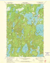
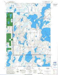
Editions of this 1971 Lac Du Flambeau Map
3 editions found
Other maps of this area

1938 · Lac Du Flambeau
USGS Topo · 1:48,000

1939 · Lac Du Flambeau
USGS Topo · 1:48,000

1939 · Winchester
USGS Topo · 1:48,000

1940 · Mercer
USGS Topo · 1:48,000

1941 · Pike Lake
USGS Topo · 1:48,000

1942 · Pike Lake
USGS Topo · 1:48,000

1945 · Mercer
USGS Topo · 1:48,000

1946 · Winchester
USGS Topo · 1:48,000

1946 · Lac Du Flambeau
USGS Topo · 1:48,000

1947 · Mercer
USGS Topo · 1:48,000