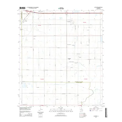
2015 Map of Lacassine
USGS Topo · Published 2015About this map
The low-lying coastal prairie of the Calcasieu Parish and Jefferson Davis Parish line defines this landscape, where agricultural drainage and natural waterways intersect. The settlement of Iowa anchors the northwestern corner, while the community of Lacassine sits further east along the transportation corridor. This area reflects a mid-20th century transition toward aviation-based agriculture and local transport, evidenced by the Light Plane Flyers Airfield and O'Brien Flying Service.
Find a feature on this map
74 named features on this map. Tap any name to fly to it.
Don’t see what you’re looking for? This feature index may not catch every label — zoom into the map to look around manually.
Map Details
Editions of this 2015 Lacassine Map
This is the sole edition of this map. No revisions or reprints were ever made.
Other maps of this area

1932 · Lake Charles NE
USGS Topo · 1:31,680

1932 · Lake Charles SE
USGS Topo · 1:31,680

1942 · Lake Charles
USGS Topo · 1:62,500

1946 · Lacassine
USGS Topo · 1:31,680

1946 · Hayes
USGS Topo · 1:31,680

1947 · Fenton
USGS Topo · 1:31,680

1947 · Thornwell
USGS Topo · 1:31,680

1947 · Hecker
USGS Topo · 1:31,680

1947 · Pine Island
USGS Topo · 1:31,680

1947 · Welsh
USGS Topo · 1:31,680