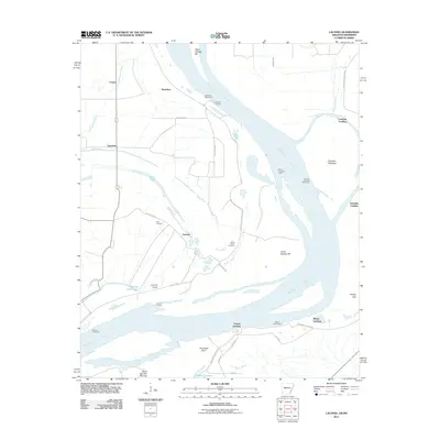
2011 Map of Laconia
USGS Topo · Published 2011About this map
Laconia and its surrounding riverbanks define this reach of the Mississippi River, where the landscape is shaped by the constant movement of water and the engineering required to manage it. This 2011 survey documents a series of historic river landings that once served as vital commerce points, including Dennis Landing, Mason Landing, and Australia Landing. The terrain is characterized by the remnants of old river channels and seasonal water bodies like Swan Lake and Double Cabin Lake, which sit behind the massive Mississippi River Levee.
Find a feature on this map
43 named features on this map. Tap any name to fly to it.
Don’t see what you’re looking for? This feature index may not catch every label — zoom into the map to look around manually.
Map Details
Editions of this 2011 Laconia Map
This is the sole edition of this map. No revisions or reprints were ever made.
Other maps of this area

1930 · Mellwood
USGS Topo · 1:62,500

1939 · Henrico
USGS Topo · 1:62,500

1939 · Pace
USGS Topo · 1:62,500

1939 · Big Island
USGS Topo · 1:62,500

1939 · Mellwood
USGS Topo · 1:62,500

1948 · Helena
USGS Topo · 1:250,000

1950 · Helena
USGS Topo · 1:250,000

1953 · Greenwood
USGS Topo · 1:250,000

1954 · Mellwood
USGS Topo · 1:62,500

1954 · Henrico
USGS Topo · 1:62,500