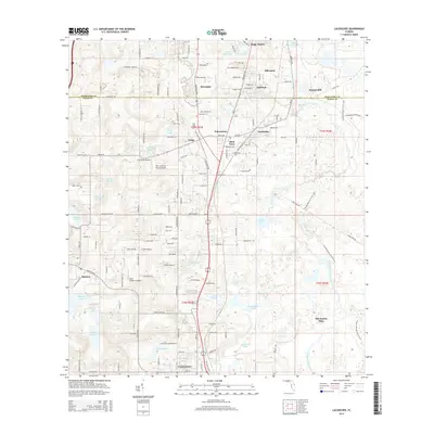
2015 Map of Lacoochee
USGS Topo · Published 2015About this map
The Withlacoochee River carves a winding path through this corner of Central Florida, defining a landscape of dense water bodies and established settlements. Small communities like Trilby, Lacoochee, and Trilcoochee anchor the central corridor, reflecting a long history of rail-oriented development and timber industry origins. The presence of Trilby Cem and named locales such as Moss Town and Alderman provide clear markers for genealogical research and local history studies.
Find a feature on this map
98 named features on this map. Tap any name to fly to it.
Don’t see what you’re looking for? This feature index may not catch every label — zoom into the map to look around manually.
Map Details
Editions of this 2015 Lacoochee Map
This is the sole edition of this map. No revisions or reprints were ever made.
Other maps of this area

1954 · Spring Lake
USGS Topo · 1:24,000

1954 · San Antonio
USGS Topo · 1:24,000

1954 · Brooksville SE
USGS Topo · 1:24,000

1955 · Plant City
USGS Topo · 1:250,000

1958 · Plant City
USGS Topo · 1:250,000

1958 · Webster
USGS Topo · 1:24,000

1958 · Saint Catherine
USGS Topo · 1:24,000

1959 · Plant City
USGS Topo · 1:250,000

1960 · Lacoochee
USGS Topo · 1:24,000

1960 · Branchborough
USGS Topo · 1:24,000