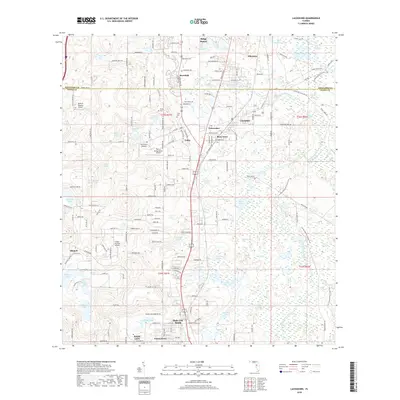
2018 Map of Lacoochee
USGS Topo · Published 2018About this map
The Withlacoochee River winds through this section of the northern Florida peninsula, where the borders of Hernando and Pasco counties meet. The landscape is a complex network of wetlands and cypress-fringed waters including Owensboro Swamp, Wildcat Swamp, and Lower Lake Swamp, interspersed with numerous small lakes like Blanton Lake and Ivy Stag Lake. The settlement pattern reflects the area's transportation and agricultural history, anchored by the community of Trilby, once a significant railroad junction.
Find a feature on this map
112 named features on this map. Tap any name to fly to it.
Don’t see what you’re looking for? This feature index may not catch every label — zoom into the map to look around manually.
Map Details
Editions of this 2018 Lacoochee Map
This is the sole edition of this map. No revisions or reprints were ever made.
Other maps of this area

1954 · Spring Lake
USGS Topo · 1:24,000

1954 · San Antonio
USGS Topo · 1:24,000

1954 · Brooksville SE
USGS Topo · 1:24,000

1955 · Plant City
USGS Topo · 1:250,000

1958 · Plant City
USGS Topo · 1:250,000

1958 · Webster
USGS Topo · 1:24,000

1958 · Saint Catherine
USGS Topo · 1:24,000

1959 · Plant City
USGS Topo · 1:250,000

1960 · Lacoochee
USGS Topo · 1:24,000

1960 · Branchborough
USGS Topo · 1:24,000