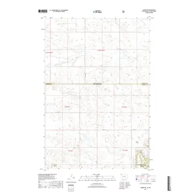
2017 Map of Ladner NE
USGS Topo · Published 2017About this map
The Custer National Forest anchors the southeastern corner of this map, where the terrain rises into the distinctive North Cave Hills. This high ground is dissected by numerous drainages including Coal Gulch, Nursery Draw, and the Eagles Nest Spring. The landscape transitions northward from these heights into a vast drainage basin defined by the N Fork Grand River and its tributaries like Lone Tree Creek and Trunk Creek.
Find a feature on this map
24 named features on this map. Tap any name to fly to it.
Don’t see what you’re looking for? This feature index may not catch every label — zoom into the map to look around manually.
Map Details
Editions of this 2017 Ladner NE Map
This is the sole edition of this map. No revisions or reprints were ever made.
Other maps of this area

1935 · Reva
USGS Topo · 1:125,000

1935 · Buffalo
USGS Topo · 1:125,000

1953 · Dickinson
USGS Topo · 1:250,000

1954 · Lemmon
USGS Topo · 1:250,000

1957 · Dickinson
USGS Topo · 1:250,000

1957 · Lemmon
USGS Topo · 1:250,000

1968 · Bowman SW
USGS Topo · 1:24,000

1968 · Eagles Nest Butte
USGS Topo · 1:24,000

1968 · Ludlow
USGS Topo · 1:24,000

1969 · Ladner NE
USGS Topo · 1:24,000