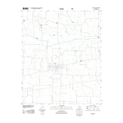
2010 Map of Ladonia
USGS Topo · Published 2010About this map
Ladonia serves as the central hub of this Fannin County landscape, situated at the intersection of FM-64 and several rural routes. The town’s history is reflected in its local landmarks, including the Odd Fellows Cemetery and the grid of residential streets like W Main St. Surrounding the town, the terrain is defined by a dense network of watercourses, most notably the North Sulphur River, which flows eastward toward Lyday Crossing. The map reveals a pattern of dispersed agricultural settlements and named locales such as Bug Tussle, Silver City, and Oak Ridge. Numerous family and community burial grounds, such as the McFarland Cemetery and New Harmony Cemetery, are scattered across the countryside, offering significant points of interest for genealogists and local historians tracking the lineage of this rural Texas region.
Find a feature on this map
66 named features on this map. Tap any name to fly to it.
Don’t see what you’re looking for? This feature index may not catch every label — zoom into the map to look around manually.
Map Details
Editions of this 2010 Ladonia Map
This is the sole edition of this map. No revisions or reprints were ever made.
Other maps of this area

1903 · Paris
USGS Topo · 1:125,000

1947 · Honey Grove
USGS Topo · 1:62,500

1949 · Honey Grove
USGS Topo · 1:62,500

1953 · Texarkana
USGS Topo · 1:250,000

1954 · Sherman
USGS Topo · 1:250,000

1956 · Texarkana
USGS Topo · 1:250,000

1958 · Bonham
USGS Topo · 1:62,500

1958 · Sherman
USGS Topo · 1:250,000

1964 · Klondike
USGS Topo · 1:24,000

1964 · Commerce North
USGS Topo · 1:24,000