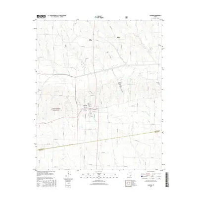
2016 Map of Ladonia
USGS Topo · Published 2016About this map
Ladonia serves as the focal point of this North Texas survey, where the town’s grid meets a landscape defined by the North Sulphur River and its numerous tributaries. Family-named cemeteries are scattered across the surrounding farmland, including Oak Ridge Cem, McFarland Cem, and Merrill Cem, providing important markers for genealogists tracing early settlers. The terrain is largely agricultural, punctuated by the Caddo National Grassland in the southwest and small settlements such as Bug Tussle and Bagby to the north. Waterways like Merrill Cr and Davis Cr drain the higher ground toward the river bottom, while a dense network of county roads reflects a long-established rural community. In town, the layout of Bonham St and W Main St centers around the historic municipal core, flanked by the Ladonia Cem and Odd Fellows Cem.
Find a feature on this map
93 named features on this map. Tap any name to fly to it.
Don’t see what you’re looking for? This feature index may not catch every label — zoom into the map to look around manually.
Map Details
Editions of this 2016 Ladonia Map
This is the sole edition of this map. No revisions or reprints were ever made.
Other maps of this area

1903 · Paris
USGS Topo · 1:125,000

1947 · Honey Grove
USGS Topo · 1:62,500

1949 · Honey Grove
USGS Topo · 1:62,500

1953 · Texarkana
USGS Topo · 1:250,000

1954 · Sherman
USGS Topo · 1:250,000

1956 · Texarkana
USGS Topo · 1:250,000

1958 · Bonham
USGS Topo · 1:62,500

1958 · Sherman
USGS Topo · 1:250,000

1964 · Klondike
USGS Topo · 1:24,000

1964 · Commerce North
USGS Topo · 1:24,000