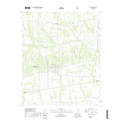
2019 Map of Ladonia
USGS Topo · Published 2019About this map
Ladonia serves as the primary hub of this North Texas landscape, where the street grid is anchored by Ladonia Cem and Odd Fellows Cem. The surrounding territory is defined by the North Sulphur River and its numerous tributaries, including Davis Cr and Merrill Cr, which create a complex drainage pattern through the Caddo National Grassland. This area is notable for its high density of small rural burial grounds, such as McFarland Cem, Merrill Cem, and New Harmony Cem, which speak to the deep-rooted family settlements that have shaped this portion of the Texas Blackland Prairies. To the north, the famously named settlement of Bug Tussle and the community of Bagby sit along the east-west corridor of E FM 1550, illustrating the persistent rural character of the region as it transitions across the Fannin Co and Hunt Co boundary.
Find a feature on this map
88 named features on this map. Tap any name to fly to it.
Don’t see what you’re looking for? This feature index may not catch every label — zoom into the map to look around manually.
Map Details
Editions of this 2019 Ladonia Map
This is the sole edition of this map. No revisions or reprints were ever made.
Other maps of this area

1903 · Paris
USGS Topo · 1:125,000

1947 · Honey Grove
USGS Topo · 1:62,500

1949 · Honey Grove
USGS Topo · 1:62,500

1953 · Texarkana
USGS Topo · 1:250,000

1954 · Sherman
USGS Topo · 1:250,000

1956 · Texarkana
USGS Topo · 1:250,000

1958 · Bonham
USGS Topo · 1:62,500

1958 · Sherman
USGS Topo · 1:250,000

1964 · Klondike
USGS Topo · 1:24,000

1964 · Commerce North
USGS Topo · 1:24,000