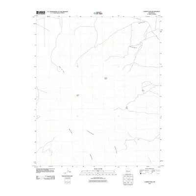
2010 Map of Ladron Peak
USGS Topo · Published 2010About this map
Ladron Peak rises as the dominant landmark in this high-desert region of Socorro County, anchoring a landscape defined by complex drainage networks and remote ranching outposts. The map reveals the intricate topographic relief of Monte Negro and the deep incisions of Cañon del Alamito and Cañon de Norte. Settlement patterns are sparse, represented by the Lazy C Bar J Ranch and the locality of Rule, which sits near the southern extent of Cañada Popotosa. Mineral exploration history is marked by the Jeter Prospect on the eastern slopes, while a network of primitive routes and County Rd-12 provide the only modern access. The terrain transitions from high summits to the broad alluvial features of Mariano Draw, illustrating the relationship between the peak and its surrounding basins.
Find a feature on this map
12 named features on this map. Tap any name to fly to it.
Don’t see what you’re looking for? This feature index may not catch every label — zoom into the map to look around manually.
Map Details
Editions of this 2010 Ladron Peak Map
This is the sole edition of this map. No revisions or reprints were ever made.
Other maps of this area

1916 · La Joya
USGS Topo · 1:125,000

1917 · Cerro Verde
USGS Topo · 1:125,000

1952 · La Joya NW
USGS Topo · 1:24,000

1952 · San Anacia
USGS Topo · 1:24,000

1952 · Belen SW
USGS Topo · 1:24,000

1954 · Socorro
USGS Topo · 1:250,000

1956 · Mesa Aparejo
USGS Topo · 1:62,500

1958 · Socorro
USGS Topo · 1:250,000

1959 · Riley
USGS Topo · 1:62,500

1962 · Socorro
USGS Topo · 1:250,000