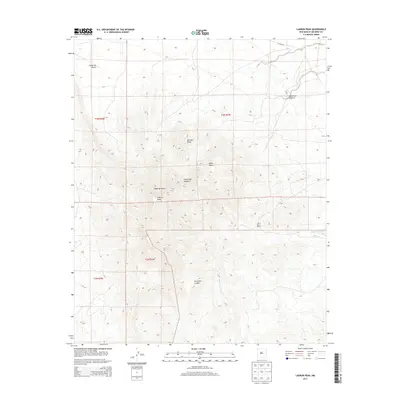
2013 Map of Ladron Peak
USGS Topo · Published 2013About this map
Ladron Peak dominates this high-desert landscape in Socorro County, anchoring a terrain defined by deep canyons and intermittent watercourses. The 2013 survey reveals a sparsely settled ranching environment, where the Lazy C Bar J Ranch stands as a primary point of human activity amidst the topographical complexity of Monte Negro and the winding path of La Cueva Canyon.
Find a feature on this map
15 named features on this map. Tap any name to fly to it.
Don’t see what you’re looking for? This feature index may not catch every label — zoom into the map to look around manually.
Map Details
Editions of this 2013 Ladron Peak Map
This is the sole edition of this map. No revisions or reprints were ever made.
Other maps of this area

1916 · La Joya
USGS Topo · 1:125,000

1917 · Cerro Verde
USGS Topo · 1:125,000

1952 · La Joya NW
USGS Topo · 1:24,000

1952 · San Anacia
USGS Topo · 1:24,000

1952 · Belen SW
USGS Topo · 1:24,000

1954 · Socorro
USGS Topo · 1:250,000

1956 · Mesa Aparejo
USGS Topo · 1:62,500

1958 · Socorro
USGS Topo · 1:250,000

1959 · Riley
USGS Topo · 1:62,500

1962 · Socorro
USGS Topo · 1:250,000