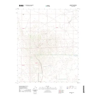
2023 Map of Ladron Peak
USGS Topo · Published 2023About this map
Ladron Peak serves as the dominant landmark of this high-altitude landscape in Socorro County, where complex contours define the steep transitions between volcanic peaks and deep arroyos. The southern portion of the sheet is largely preserved within the Sevilleta National Wildlife Refuge, showcasing a desert ecosystem where dramatic landforms like Monte Negro and La Cueva Canyon provide shelter and drainage. This environment is characterized by its ephemeral water systems, including Mariano Draw and Cañon de Norte, which reveal the intricate erosional patterns of the Rio Grande rift. The presence of Yeso Springs near the eastern boundary of the refuge suggests vital water sources that have historically supported wildlife and transit through this arid terrain, while Co Rd 12 provides the primary modern access to the northern desert flats.
Find a feature on this map
15 named features on this map. Tap any name to fly to it.
Don’t see what you’re looking for? This feature index may not catch every label — zoom into the map to look around manually.
Map Details
Editions of this 2023 Ladron Peak Map
This is the sole edition of this map. No revisions or reprints were ever made.
Other maps of this area

1916 · La Joya
USGS Topo · 1:125,000

1917 · Cerro Verde
USGS Topo · 1:125,000

1952 · La Joya NW
USGS Topo · 1:24,000

1952 · San Anacia
USGS Topo · 1:24,000

1952 · Belen SW
USGS Topo · 1:24,000

1954 · Socorro
USGS Topo · 1:250,000

1956 · Mesa Aparejo
USGS Topo · 1:62,500

1958 · Socorro
USGS Topo · 1:250,000

1959 · Riley
USGS Topo · 1:62,500

1962 · Socorro
USGS Topo · 1:250,000