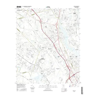
2017 Map of Ladson
USGS Topo · Published 2017About this map
North Charleston and the surrounding Berkeley and Dorchester county lines define this landscape, showing a dense network of suburban development and industrial infrastructure during the late 2010s. The map highlights the significant footprint of the Charleston Air Force Base/International Airport and the educational hub at Charleston Southern University. To the east, the Goose Creek Reservoir provides a major water feature amidst established neighborhoods like Otranto and Deer Park.
Find a feature on this map
359 named features on this map. Tap any name to fly to it.
Don’t see what you’re looking for? This feature index may not catch every label — zoom into the map to look around manually.
Map Details
Editions of this 2017 Ladson Map
This is the sole edition of this map. No revisions or reprints were ever made.
Other maps of this area

1919 · Ladson
USGS Topo · 1:21,120

1919 · Johns Island
USGS Topo · 1:21,120

1919 · Summerville
USGS Topo · 1:48,000

1919 · Cordesville
USGS Topo · 1:48,000

1919 · Melgrove
USGS Topo · 1:21,120

1919 · Charleston
USGS Topo · 1:21,120

1920 · Ravenels
USGS Topo · 1:62,500

1920 · Summerville
USGS Topo · 1:62,500

1940 · Melgrove
USGS Topo · 1:24,000

1943 · Ladson
USGS Topo · 1:24,000