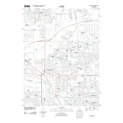
2010 Map of Lafayette
USGS Topo · Published 2010About this map
Lafayette and Broomfield stand as the primary urban centers in this 2010 topographic survey of the Front Range corridor. The landscape is a dense network of suburban residential developments such as Broomfield Heights, Maple Grove, and Northmoor, intertwined with significant water management infrastructure including the Community Ditch and Brunner Reservoir. A notable historical layer is revealed through the numerous named mines scattered across the northern portion of the quadrangle, including the Centennial Mine, Vulcan Mine, and Regal Mine, signaling the area's rich carbon extraction heritage. Modern transportation and recreation define the western half of the map, anchored by the Rocky Mountain Metropolitan Airport and several prominent golf courses. The eastern edge transition into Northglenn and Thornton showcases a highly engineered landscape of terminal reservoirs and canals designed to support rapid metropolitan growth.
Find a feature on this map
120 named features on this map. Tap any name to fly to it.
Don’t see what you’re looking for? This feature index may not catch every label — zoom into the map to look around manually.
Map Details
Editions of this 2010 Lafayette Map
This is the sole edition of this map. No revisions or reprints were ever made.
Other maps of this area

1890 · East Denver
USGS Topo · 1:125,000

1899 · West Denver
USGS Topo · 1:125,000

1902 · Greeley
USGS Topo · 1:125,000

1904 · Niwot
USGS Topo · 1:62,500

1938 · Derby
USGS Topo · 1:24,000

1939 · Golden
USGS Topo · 1:24,000

1940 · Eastlake
USGS Topo · 1:31,680

1940 · Lafayette
USGS Topo · 1:31,680

1940 · Derby
USGS Topo · 1:31,680

1941 · Arvada
USGS Topo · 1:31,680