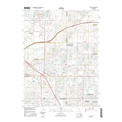
2016 Map of Lafayette
USGS Topo · Published 2016About this map
Lafayette and Louisville anchor the northern reaches of this map, showcasing the intensive water management systems required to sustain the suburban expansion along the Front Range. A complex network of irrigation and storage, including the Community Ditch, Highline Lateral, and Bull Canal, feeds into numerous reservoirs such as Stearns Lake and Goodhue Reservoir Number 1. This hydraulic infrastructure is woven into a landscape of burgeoning residential developments and educational hubs like the Devry Univ Westminster Campus.
Find a feature on this map
64 named features on this map. Tap any name to fly to it.
Don’t see what you’re looking for? This feature index may not catch every label — zoom into the map to look around manually.
Map Details
Editions of this 2016 Lafayette Map
This is the sole edition of this map. No revisions or reprints were ever made.
Other maps of this area

1890 · East Denver
USGS Topo · 1:125,000

1899 · West Denver
USGS Topo · 1:125,000

1902 · Greeley
USGS Topo · 1:125,000

1904 · Niwot
USGS Topo · 1:62,500

1938 · Derby
USGS Topo · 1:24,000

1939 · Golden
USGS Topo · 1:24,000

1940 · Eastlake
USGS Topo · 1:31,680

1940 · Lafayette
USGS Topo · 1:31,680

1940 · Derby
USGS Topo · 1:31,680

1941 · Arvada
USGS Topo · 1:31,680