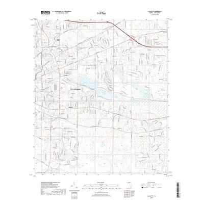
2018 Map of Lafayette
USGS Topo · Published 2018About this map
Lafayette and the eastern edge of Tallahassee form the core of this landscape, where residential expansion meets protected natural corridors. The map reveals a transition from urban development to the unique lake systems of Leon County, most notably the expansive Lake Lafayette and Piney Z Lake. The preservation of the region's character is evident in the Miccosukee Canopy Road Greenway and the Lafayette Heritage Trail, which utilize the area's natural topography and drainage patterns.
Find a feature on this map
31 named features on this map. Tap any name to fly to it.
Don’t see what you’re looking for? This feature index may not catch every label — zoom into the map to look around manually.
Map Details
Editions of this 2018 Lafayette Map
This is the sole edition of this map. No revisions or reprints were ever made.
Other maps of this area

1940 · Tallahassee
USGS Topo · 1:62,500

1942 · Tallahassee
USGS Topo · 1:62,500

1943 · Tallahassee
USGS Topo · 1:62,500

1954 · Lloyd
USGS Topo · 1:24,000

1954 · Lafayette
USGS Topo · 1:24,000

1954 · Cody
USGS Topo · 1:24,000

1954 · Woodville
USGS Topo · 1:24,000

1954 · Tallahassee
USGS Topo · 1:250,000

1959 · Tallahassee
USGS Topo · 1:250,000

1960 · Tallahassee
USGS Topo · 1:250,000