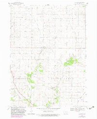
1968 Map of Lafayette
USGS Topo · Published 1983About this map
The agrarian landscape of Linn County centers on the convergence of West Otter Creek and East Otter Creek, forming the primary drainage through the townships of Spring Grove and Otter Creek. Small rural settlements like Alice and Lafayette anchor the local community, which is marked by several historical burial sites including Oliphant Cem and Squires Cem. The western edge of the quadrangle shows the transition of transportation infrastructure, where an Old Railroad Grade follows Nelson Creek, eventually becoming the Cedar Valley Nature Trail. To the southeast, the Illinois Central Gulf railroad serves the town of Alburnett, reflecting the mid-20th-century importance of rail to the local agricultural economy. The map also captures several community landmarks such as Salem Ch and Greens Grove Ch, providing a detailed view of the social fabric in this part of Iowa during the late 1960s.
Find a feature on this map
24 named features on this map. Tap any name to fly to it.
Don’t see what you’re looking for? This feature index may not catch every label — zoom into the map to look around manually.
Map Details
Editions of this 1968 Lafayette Map
2 editions found
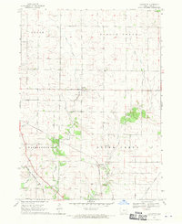
Other maps of this area

1888 · Shellsburg
USGS Topo · 1:62,500

1888 · Marion
USGS Topo · 1:62,500

1889 · Marion
USGS Topo · 1:62,500

1889 · Shellsburg
USGS Topo · 1:62,500

1899 · Shellsburg
USGS Topo · 1:62,500

1903 · Winthrop
USGS Topo · 1:125,000

1959 · Dubuque
USGS Topo · 1:250,000

1961 · Dubuque
USGS Topo · 1:250,000

1962 · Dubuque
USGS Topo · 1:250,000
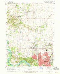
1967 · Cedar Rapids North
USGS Topo · 1:24,000