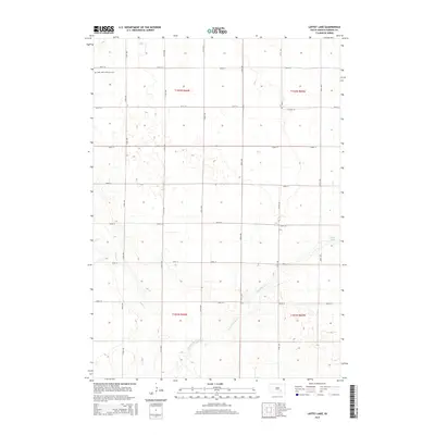
2015 Map of Laffey Lake
USGS Topo · Published 2015About this map
Saint Johns Lutheran Cem stands as a focal point for genealogical research in this agricultural landscape of Aurora County. This 2015 survey reveals a terrain defined by the Public Land Survey System, where a rigid grid of gravel and dirt roads including 260th St and 374th Ave dictates the movement across the prairie. The drainage patterns of the Platte Cr and the E Fork Platte Cr wind through the section lines, eventually reaching the southeast corner near Laffey Lake. The map illustrates the persistent intersection of modern infrastructure and natural watercourses, showing how early settlement patterns and township boundaries like t102n r66w continue to shape the land use of South Dakota's rural interior.
Find a feature on this map
21 named features on this map. Tap any name to fly to it.
Don’t see what you’re looking for? This feature index may not catch every label — zoom into the map to look around manually.
Map Details
Editions of this 2015 Laffey Lake Map
This is the sole edition of this map. No revisions or reprints were ever made.
Other maps of this area

1955 · Mitchell
USGS Topo · 1:250,000

1959 · Mitchell
USGS Topo · 1:250,000

1979 · Cedar Grove Colony
USGS Topo · 1:24,000

1979 · New Holland
USGS Topo · 1:24,000

1979 · Laffey Lake
USGS Topo · 1:24,000

1979 · Crystal Lake
USGS Topo · 1:24,000

1979 · White Lake
USGS Topo · 1:24,000

1979 · Platte Lake
USGS Topo · 1:24,000

1979 · Aurora Center
USGS Topo · 1:24,000

1979 · Joubert
USGS Topo · 1:24,000
Featured Places
- Crystal Lake Township, SD
- Center Township, SD
- Gales Township, SD
- Washington Township, SD
- Aurora County, SD