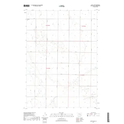
2017 Map of Laffey Lake
USGS Topo · Published 2017About this map
Saint Johns Lutheran Cem stands as a primary landmark in this rural landscape of northern Aurora County, located near the intersection of 260th St and 373rd Ave. The map documents a sparsely settled agricultural region defined by the section-line grid typical of the Great Plains, where long, straight corridors like 375th Ave and 377th Ave segment the prairie. Water dominates the eastern and southern portions of the quadrangle, notably at Laffey Lake and the meandering paths of Platte Cr and its tributary, E Fork Platte Cr. This 2017 survey reflects the enduring spatial organization of the Dakota territory, where township boundaries such as t102n r66w and t101n r65w still dictate the placement of local roads and property divisions.
Find a feature on this map
24 named features on this map. Tap any name to fly to it.
Don’t see what you’re looking for? This feature index may not catch every label — zoom into the map to look around manually.
Map Details
Editions of this 2017 Laffey Lake Map
This is the sole edition of this map. No revisions or reprints were ever made.
Other maps of this area

1955 · Mitchell
USGS Topo · 1:250,000

1959 · Mitchell
USGS Topo · 1:250,000

1979 · Cedar Grove Colony
USGS Topo · 1:24,000

1979 · New Holland
USGS Topo · 1:24,000

1979 · Laffey Lake
USGS Topo · 1:24,000

1979 · Crystal Lake
USGS Topo · 1:24,000

1979 · White Lake
USGS Topo · 1:24,000

1979 · Platte Lake
USGS Topo · 1:24,000

1979 · Aurora Center
USGS Topo · 1:24,000

1979 · Joubert
USGS Topo · 1:24,000
Featured Places
- Crystal Lake Township, SD
- Center Township, SD
- Gales Township, SD
- Washington Township, SD
- Aurora County, SD