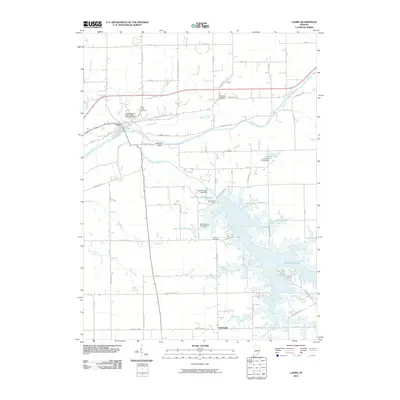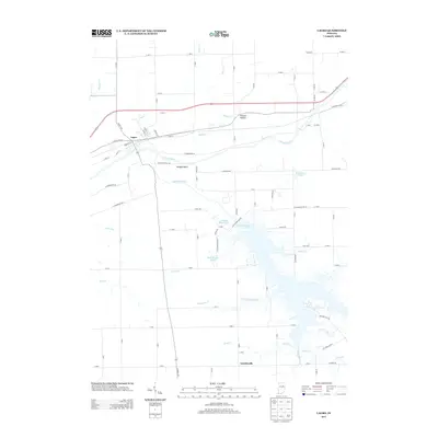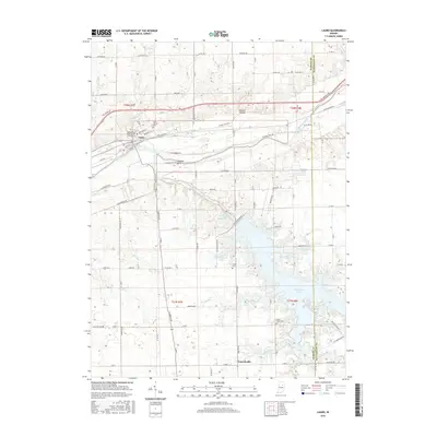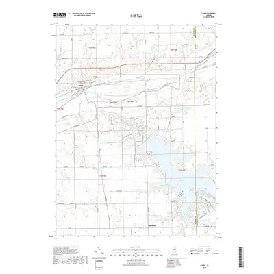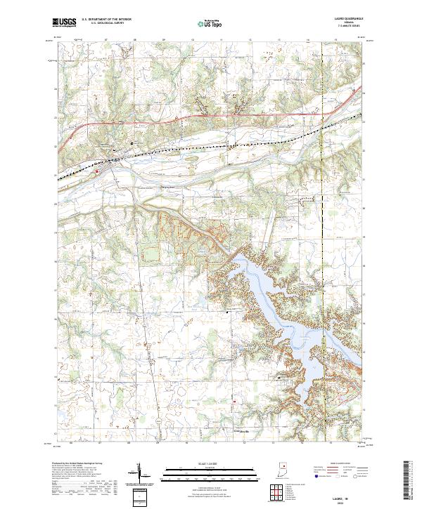
2022 Map of Lagro
USGS Topo · Published 2022About this map
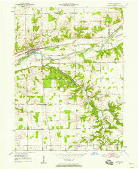
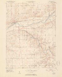
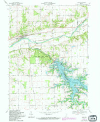
The Wabash River and Salamonie River define the landscape of this eastern Wabash County region, where water and transit historically dictated the growth of small riverside communities. Lagro sits at the northern end of this corridor, positioned where Lagro Cr and Rager Cr meet the main river channel. Local history is deeply etched into the land through sites like the Lagro Independent Order of Odd Fellows Cem and Saint Patrick Cem, which serve as vital markers for genealogical research. To the south, the expansion of the Salamonie Lake reservoir transformed the terrain, creating a significant water body that dominates the southern half of the quadrangle. This modern survey also documents the network of rural roads and recreation paths, including the State Forest Bridle Trails Trl, alongside natural landmarks like Hanging Rock and the low-lying drainage of Possum Hollow.
Find a feature on this map
75 named features on this map. Tap any name to fly to it.
Don’t see what you’re looking for? This feature index may not catch every label — zoom into the map to look around manually.
Map Details
Editions of this 2022 Lagro Map
This is the sole edition of this map. No revisions or reprints were ever made.
Historical Maps of Lagro Through Time
8 maps found