1982 Map of Laguna Beach
USGS Topo · Published 1983About this map
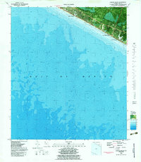
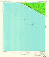
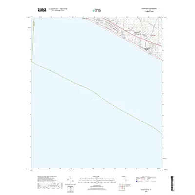
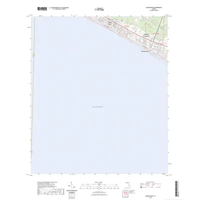
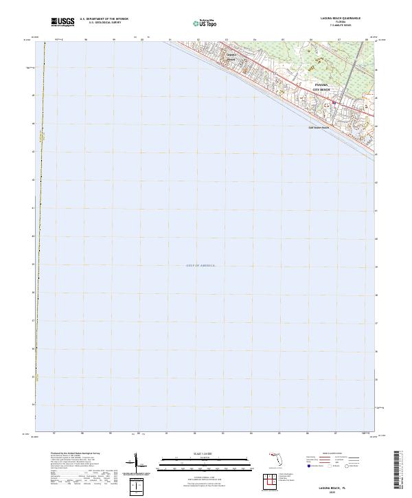
Laguna Beach and the neighboring coastal communities along the Florida Panhandle are captured in detail during the early 1980s. This orthophotomap combines traditional topographic data with aerial photography, offering a clear view of the developing residential street grids and beachfront properties between the shoreline and the coastal highway. The settlement pattern shows the expansion of Panama City Beach and smaller enclaves such as Gulf Resort Beach and Lullwater Beach. This survey provides essential bathymetric data for the Gulf of Mexico, illustrating the shallow shelf and underwater contours just off the emerald coast. By merging photographic imagery from the mid-1970s with updated 1982 survey data, the map documents the transition of this region from quiet stretches of sand into a prominent vacation and residential corridor.
Find a feature on this map
5 named features on this map. Tap any name to fly to it.
Don’t see what you’re looking for? This feature index may not catch every label — zoom into the map to look around manually.
Map Details
Editions of this 1982 Laguna Beach Map
This is the sole edition of this map. No revisions or reprints were ever made.
Historical Maps of Panama City Beach Through Time
8 maps found

Featured Locations
- Bay County, FL
- Walton County, FL
- Panama City Beach, FL
- Laguna Beach, FL
- Gulf Resort Beach, Panama City Beach