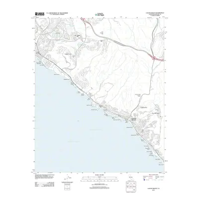
2012 Map of Laguna Beach
USGS Topo · Published 2012About this map
The San Joaquin Hills dominate the coastal topography above the Pacific Ocean, where the suburban expansion of Newport Coast and the community of Corona del Mar meet the steep canyons of the Orange County shoreline. This 2012 survey illustrates the modern residential development bordering protected corridors like Moro Canyon and Muddy Canyon, which descend toward the sea near Crystal Cove. Further south, the city of Laguna Beach is detailed alongside its intricate network of coastal features, including Emerald Bay and Arch Cove.
Find a feature on this map
55 named features on this map. Tap any name to fly to it.
Don’t see what you’re looking for? This feature index may not catch every label — zoom into the map to look around manually.
Map Details
Editions of this 2012 Laguna Beach Map
This is the sole edition of this map. No revisions or reprints were ever made.
Other maps of this area

1896 · Santa Ana
USGS Topo · 1:62,500

1901 · Southern California Sheet No. 1
USGS Topo · 1:250,000

1901 · Santa Ana
USGS Topo · 1:62,500

1902 · Capistrano
USGS Topo · 1:125,000

1902 · Corona
USGS Topo · 1:125,000

1904 · Southern California Sheet No. 2
USGS Topo · 1:250,000

1904 · Southern California Sheet No. 1
USGS Topo · 1:250,000

1906 · Capistrano
USGS Topo · 1:125,000

1932 · Newport Beach
USGS Topo · 1:31,680

1932 · Tustin
USGS Topo · 1:31,680