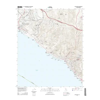
2015 Map of Laguna Beach
USGS Topo · Published 2015About this map
The coastal canyons of the San Joaquin Hills dominate this segment of the Orange County shoreline, where residential development in Newport Beach and Laguna Beach meets the preserved spaces of Crystal Cove. The map reveals a landscape defined by narrow coastal roads and significant topographical relief, from the peaks of Signal Peak and Pelican Hill down to the rocky Pacific tidepools. Local history is reflected in the residential enclaves of Corona del Mar and Newport Coast, as well as the secluded Canyon Acres. Landmarks such as the Laguna College of Art and Design and Pacific View Memorial Park are established alongside the winding Laguna Canyon Rd, illustrating the modern balance between urban expansion and the region's steep, natural drainage systems.
Find a feature on this map
63 named features on this map. Tap any name to fly to it.
Don’t see what you’re looking for? This feature index may not catch every label — zoom into the map to look around manually.
Map Details
Editions of this 2015 Laguna Beach Map
This is the sole edition of this map. No revisions or reprints were ever made.
Other maps of this area

1896 · Santa Ana
USGS Topo · 1:62,500

1901 · Southern California Sheet No. 1
USGS Topo · 1:250,000

1901 · Santa Ana
USGS Topo · 1:62,500

1902 · Capistrano
USGS Topo · 1:125,000

1902 · Corona
USGS Topo · 1:125,000

1904 · Southern California Sheet No. 2
USGS Topo · 1:250,000

1904 · Southern California Sheet No. 1
USGS Topo · 1:250,000

1906 · Capistrano
USGS Topo · 1:125,000

1932 · Newport Beach
USGS Topo · 1:31,680

1932 · Tustin
USGS Topo · 1:31,680