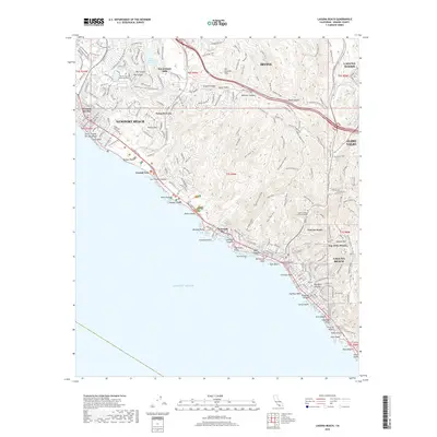
2018 Map of Laguna Beach
USGS Topo · Published 2018About this map
The San Joaquin Hills dominate this coastal landscape, rising sharply from the Pacific Ocean to the 1,164-foot summit at Signal Peak. The map reveals a complex network of canyons and ridges, where preserved open space in Crystal Cove State Park meets the dense residential development of Laguna Beach and Newport Beach. Notable inland landmarks include the Laguna College of Art and Design and Pacific View Memorial Park.
Find a feature on this map
86 named features on this map. Tap any name to fly to it.
Don’t see what you’re looking for? This feature index may not catch every label — zoom into the map to look around manually.
Map Details
Editions of this 2018 Laguna Beach Map
This is the sole edition of this map. No revisions or reprints were ever made.
Other maps of this area

1896 · Santa Ana
USGS Topo · 1:62,500

1901 · Southern California Sheet No. 1
USGS Topo · 1:250,000

1901 · Santa Ana
USGS Topo · 1:62,500

1902 · Capistrano
USGS Topo · 1:125,000

1902 · Corona
USGS Topo · 1:125,000

1904 · Southern California Sheet No. 2
USGS Topo · 1:250,000

1904 · Southern California Sheet No. 1
USGS Topo · 1:250,000

1906 · Capistrano
USGS Topo · 1:125,000

1932 · Newport Beach
USGS Topo · 1:31,680

1932 · Tustin
USGS Topo · 1:31,680