Loading...
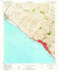
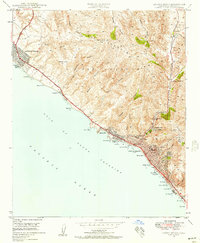
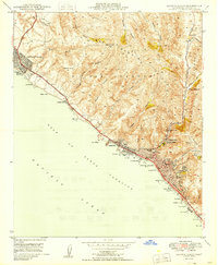
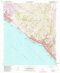
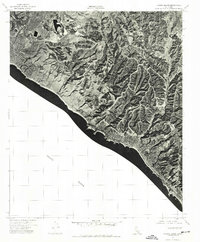
Loading map...1948 Map of Laguna Beach
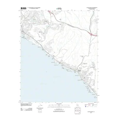
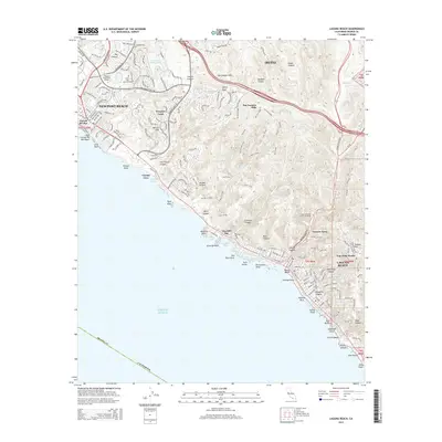
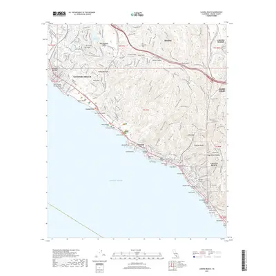
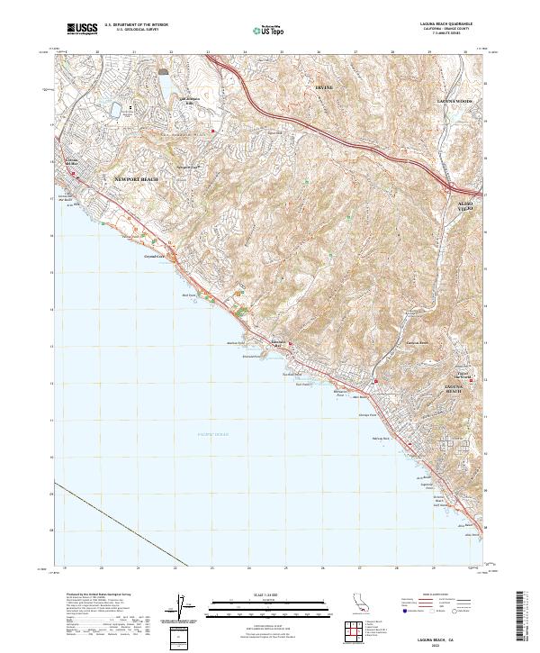
USGS Topo · Published 1964About this map
Laguna Beach sits at the heart of this post-war coastal survey, showcasing the early development of Orange County's shoreline before the era of intensive suburban expansion. The map reveals a community defined by its complex topography, where the San Joaquin Hills meet the Gulf of Santa Catalina. Settlement is concentrated along the Coast Highway, with distinct neighborhoods like Emerald Bay, Canyon Acres, and Arch Beach tucked into the canyons and onto the bluffs.
Find a feature on this map
55 named features on this map. Tap any name to fly to it.
Don’t see what you’re looking for? This feature index may not catch every label — zoom into the map to look around manually.
Map Details
Date Portrayed1948
Date Published1964
PublisherU.S. Geological Survey
Map TypeTopographic
Scale1:24,000
Physical Dimensions22.1 x 26.9 inches
Editions of this 1948 Laguna Beach Map
2 editions found
Historical Maps of Irvine Through Time
8 maps found
Featured Locations
Source Details
SourceU.S. Geological Survey
CopyrightPublic Domain