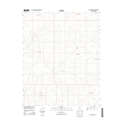
2013 Map of Laguna Castillo
USGS Topo · Published 2013About this map
Laguna Castillo anchors the center of this 2013 survey of the McKinley County landscape within the Eastern Navajo Agency. The map illustrates a high-desert environment defined by scattered water sources and topographical landmarks like Orphan Annie Rock in the eastern reaches. Human presence is sparse and functional, centered on operations such as South Ranch and the isolated Hardpan Windmill, which signify the importance of water management in this arid region.
Find a feature on this map
11 named features on this map. Tap any name to fly to it.
Don’t see what you’re looking for? This feature index may not catch every label — zoom into the map to look around manually.
Map Details
Editions of this 2013 Laguna Castillo Map
This is the sole edition of this map. No revisions or reprints were ever made.
Other maps of this area

1883 · Mt. Taylor
USGS Topo · 1:250,000

1886 · Wingate
USGS Topo · 1:250,000

1886 · Mt. Taylor
USGS Topo · 1:250,000

1892 · Wingate
USGS Topo · 1:250,000

1892 · Mt. Taylor
USGS Topo · 1:250,000

1899 · Mt. Taylor
USGS Topo · 1:250,000

1954 · Gallup
USGS Topo · 1:250,000

1958 · Gallup
USGS Topo · 1:250,000

1958 · Albuquerque
USGS Topo · 1:250,000

1959 · Gallup
USGS Topo · 1:250,000