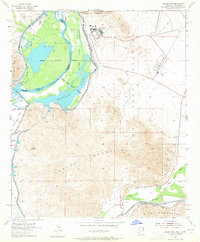
1955 Map of Laguna Dam
USGS Topo · Published 1965About this map
The Colorado River and Gila River converge in a complex hydraulic landscape of the mid-1950s, defined by the sophisticated irrigation and military infrastructure of the Arizona-California border. This survey details the Yuma Test Station Military Reservation and the sprawling Imperial National Wildlife Refuge, where Mittry Lake sits alongside the massive All American Canal. The human history of the region is traced through the remnants of the Butterfield Stage Route and the presence of the Southern Pacific railroad. Mining activity is evident at the Los Flores Mine and Trio Mine, while the small settlement of Gila City and the Laguna Cem provide valuable points for genealogical research. The map captures a moment when the desert was being actively reshaped by the North Gila Valley Canal and Wellton-Mohawk Canal systems.
Find a feature on this map
39 named features on this map. Tap any name to fly to it.
Don’t see what you’re looking for? This feature index may not catch every label — zoom into the map to look around manually.
Map Details
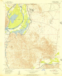
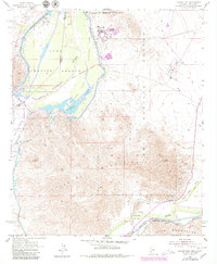
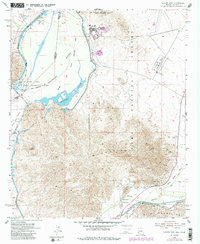
Editions of this 1955 Laguna Dam Map
4 editions found
Other maps of this area

1903 · Yuma
USGS Topo · 1:125,000

1905 · Yuma
USGS Topo · 1:125,000

1926 · Fortuna
USGS Topo · 1:62,500

1929 · Fortuna
USGS Topo · 1:62,500

1929 · Laguna
USGS Topo · 1:62,500

1940 · Yuma
USGS Topo · 1:62,500

1942 · Yuma
USGS Topo · 1:250,000

1943 · Laguna
USGS Topo · 1:62,500

1945 · Picacho Peak
USGS Topo · 1:62,500

1945 · Yuma
USGS Topo · 1:62,500