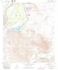
1955 Map of Laguna Dam
USGS Topo · Published 1979About this map
The Colorado River and Gila River converge in this arid landscape, a region defined by complex water management and military operations in the mid-20th century. The All American Canal and Main Canal serve as vital infrastructure, while the Yuma Test Station within the Yuma Proving Ground signals the area's strategic importance during the Cold War. For local historians, the presence of the Butterfield Stage Route and Gila City provides a link to the era of overland travel and early mining booms.
Find a feature on this map
37 named features on this map. Tap any name to fly to it.
Don’t see what you’re looking for? This feature index may not catch every label — zoom into the map to look around manually.
Map Details
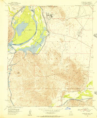
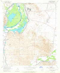
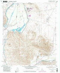
Editions of this 1955 Laguna Dam Map
4 editions found
Other maps of this area

1903 · Yuma
USGS Topo · 1:125,000

1905 · Yuma
USGS Topo · 1:125,000

1926 · Fortuna
USGS Topo · 1:62,500

1929 · Fortuna
USGS Topo · 1:62,500

1929 · Laguna
USGS Topo · 1:62,500

1940 · Yuma
USGS Topo · 1:62,500

1942 · Yuma
USGS Topo · 1:250,000

1943 · Laguna
USGS Topo · 1:62,500

1945 · Picacho Peak
USGS Topo · 1:62,500

1945 · Yuma
USGS Topo · 1:62,500