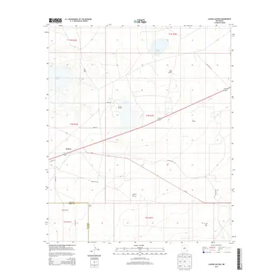
2013 Map of Laguna Gatuna
USGS Topo · Published 2013About this map
The arid landscape of the Permian Basin is defined by several notable depressions, most significantly Laguna Gatuna, Laguna Plata, and Laguna Tonto. These alkaline basins sit at the heart of an active extraction economy, shown here during a period of sustained energy production. The map captures the infrastructure of the Salt Lake Oil Field, Teas Oil Field, and the South Salt Lake Gas Field, where networks of roads like Delaware Basin Rd and NM-176 connect drilling sites across the desert floor.
Find a feature on this map
28 named features on this map. Tap any name to fly to it.
Don’t see what you’re looking for? This feature index may not catch every label — zoom into the map to look around manually.
Map Details
Editions of this 2013 Laguna Gatuna Map
This is the sole edition of this map. No revisions or reprints were ever made.
Other maps of this area

1939 · Nash Draw
USGS Topo · 1:62,500

1942 · Clayton Basin
USGS Topo · 1:62,500

1943 · Clayton Basin
USGS Topo · 1:62,500

1943 · Nash Draw
USGS Topo · 1:62,500

1954 · Hobbs
USGS Topo · 1:250,000

1958 · Hobbs
USGS Topo · 1:250,000

1963 · Laguna Gatuna
USGS Topo · 1:62,500

1963 · Hat Mesa
USGS Topo · 1:62,500

1978 · Jal
USGS Topo · 1:100,000

1984 · Lea
USGS Topo · 1:24,000