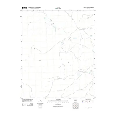
2010 Map of Laguna Honda
USGS Topo · Published 2010About this map
Cebollita Mesa and Indian Mesa define this high-desert landscape in Cibola County, where seasonal water sources dictate the movement of people and livestock. This 2010 survey highlights a sparse but critical network of water features including Laguna Honda, Laguna Bonita, and Long Lake. The presence of Cebollita Spring and Trasquila Tank suggests the traditional ranching and land-use patterns common in this part of New Mexico.
Find a feature on this map
17 named features on this map. Tap any name to fly to it.
Don’t see what you’re looking for? This feature index may not catch every label — zoom into the map to look around manually.
Map Details
Editions of this 2010 Laguna Honda Map
This is the sole edition of this map. No revisions or reprints were ever made.
Other maps of this area

1917 · Broom Mountain
USGS Topo · 1:125,000

1954 · Socorro
USGS Topo · 1:250,000

1958 · Socorro
USGS Topo · 1:250,000
1961 · North Pasture
USGS Topo · 1:24,000
1961 · Crow Point
USGS Topo · 1:24,000
1961 · Arrosa Ranch
USGS Topo · 1:24,000
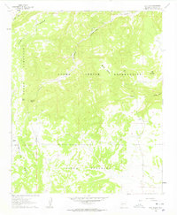
1961 · Blue Mesa
USGS Topo · 1:24,000
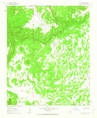
1961 · Laguna Honda
USGS Topo · 1:24,000
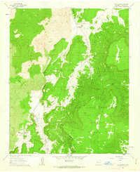
1961 · Los Pilares
USGS Topo · 1:24,000

1962 · Socorro
USGS Topo · 1:250,000