
1971 Map of Laguna Huerfana
USGS Topo · Published 1975About this map
Deep canyons and upland basins characterize this San Miguel County landscape as it was documented in 1971. The topographical layout reveals a transition from the broad Valle Redondo to the intricate drainage systems of Conchas Canyon and Cañon de las Cuevas. Local heritage is anchored by sites like the Old Taloso School and the Jimenez Cem, which sit near the eastern edge of the survey area, suggesting the focal points of rural community life before the modern era.
Find a feature on this map
21 named features on this map. Tap any name to fly to it.
Don’t see what you’re looking for? This feature index may not catch every label — zoom into the map to look around manually.
Map Details
Editions of this 1971 Laguna Huerfana Map
This is the sole edition of this map. No revisions or reprints were ever made.
Other maps of this area

1892 · Watrous
USGS Topo · 1:125,000

1892 · Corazon
USGS Topo · 1:125,000

1894 · Corazon
USGS Topo · 1:125,000

1894 · Watrous
USGS Topo · 1:125,000

1954 · Santa Fe
USGS Topo · 1:250,000

1958 · Santa Fe
USGS Topo · 1:250,000

1963 · Flagstone Mountain
USGS Topo · 1:24,000
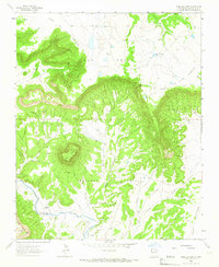
1963 · Mesa Lauriano
USGS Topo · 1:24,000
1971 · Goetsch Lake
USGS Topo · 1:24,000
1971 · Canon Pedroso
USGS Topo · 1:24,000