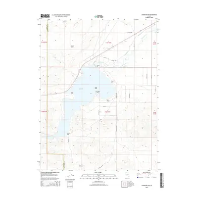
2015 Map of Lahontan Dam
USGS Topo · Published 2015About this map
Lahontan Dam stands as the primary engineering focus of this Nevada landscape, where the Carson River is impounded to form the extensive Lahontan Reservoir. The map illustrates a complex desert environment defined by the meeting of the Virginia Range and the Dead Camel Mountains, separated by the arid expanse of the Twenty-Six-Mile Desert. The reservoir's shoreline is marked by distinct geographical features such as Blackbird Point, Drum Point, and Horsemans Point, alongside recreational areas like Churchill Beach and Sixmile Beach. This 2015 survey reveals the critical water infrastructure of the region, including the Rock Dam Ditch and Rock Dam Ditch Number 1, which serve the surrounding agricultural and desert lands. Local access is traced through a network of named roads like Lahontan Dam Rd and Cadet Rd spanning the Lyon and Churchill county line.
Find a feature on this map
34 named features on this map. Tap any name to fly to it.
Don’t see what you’re looking for? This feature index may not catch every label — zoom into the map to look around manually.
Map Details
Editions of this 2015 Lahontan Dam Map
This is the sole edition of this map. No revisions or reprints were ever made.
Other maps of this area

1890 · Wadsworth
USGS Topo · 1:125,000

1891 · Wabuska
USGS Topo · 1:125,000

1892 · Wadsworth
USGS Topo · 1:125,000

1894 · Wadsworth
USGS Topo · 1:125,000

1894 · Wabuska
USGS Topo · 1:125,000

1908 · Carson Sink
USGS Topo · 1:250,000

1910 · Carson Sink
USGS Topo · 1:250,000

1951 · Soda Lake
USGS Topo · 1:62,500

1951 · Fallon
USGS Topo · 1:62,500

1957 · Two Tips
USGS Topo · 1:62,500