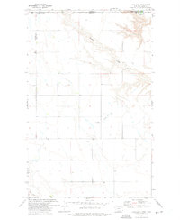
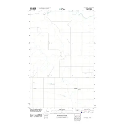
1972 Map of Laird Lake
USGS Topo · Published 1975About this map
The international boundary between Alberta and Montana divides this northern plains landscape, where the Milk River cuts through the extreme northeastern corner of the map. This 1970s topographic study reveals a sparsely populated ranching and agricultural region along the border of Hill County and Liberty County. Small localized hubs such as Fox Crossing and Strode mark the rare points of human activity on the undulating terrain.
Find a feature on this map
12 named features on this map. Tap any name to fly to it.
Don’t see what you’re looking for? This feature index may not catch every label — zoom into the map to look around manually.
Map Details
Editions of this 1972 Laird Lake Map
This is the sole edition of this map. No revisions or reprints were ever made.
Other maps of this area

1919 · Alma
USGS Topo · 1:125,000

1954 · Shelby
USGS Topo · 1:250,000

1958 · Shelby
USGS Topo · 1:250,000

1963 · Bobcat Coulee SE
USGS Topo · 1:24,000
1964 · Bobcat Coulee NE
USGS Topo · 1:24,000

1972 · Goldstone SW
USGS Topo · 1:24,000

1972 · Mc Kinnsey Reservoir West
USGS Topo · 1:24,000
1972 · Goldstone
USGS Topo · 1:24,000
1984 · Chester
USGS Topo · 1:100,000
2011 · Goldstone
USGS Topo · 1:24,000