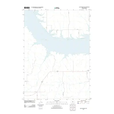
2012 Map of Lake Andes SW
USGS Topo · Published 2012About this map
Lake Francis Case dominates this Missouri River landscape in White Swan Township, where the massive reservoir separates the northern uplands from the drainage networks to the south. Along the northern shoreline, Camp Koda represents the recreational development of this shoreline, while a grid of rural routes like 374th Ave and 296th St provides access to the agricultural plateaus overlooking the water. South of the main channel, the terrain is defined by the winding paths of Joe Days Cr and Randall Cr, which cut through the prairie towards the reservoir. The map documents the local transportation network including Randall Twp Hwy and several county routes that serve the scattered homesteads and ranch lands characteristic of Charles Mix County in the early 21st century.
Find a feature on this map
15 named features on this map. Tap any name to fly to it.
Don’t see what you’re looking for? This feature index may not catch every label — zoom into the map to look around manually.
Map Details
Editions of this 2012 Lake Andes SW Map
This is the sole edition of this map. No revisions or reprints were ever made.
Other maps of this area

1955 · Mitchell
USGS Topo · 1:250,000

1955 · O'Neill
USGS Topo · 1:250,000

1959 · O'Neill
USGS Topo · 1:250,000

1959 · Mitchell
USGS Topo · 1:250,000

1964 · Campbell Creek
USGS Topo · 1:24,000

1964 · Butte
USGS Topo · 1:24,000

1964 · Lake Andes NW
USGS Topo · 1:24,000

1964 · Fort Randall Dam
USGS Topo · 1:24,000

1964 · Gross
USGS Topo · 1:24,000

1964 · Lake Andes SW
USGS Topo · 1:24,000