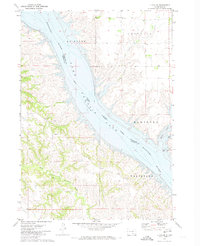
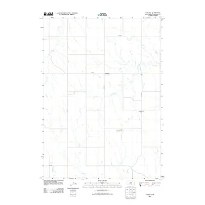
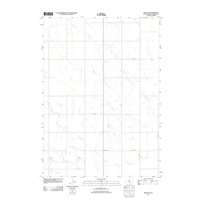
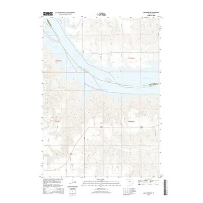
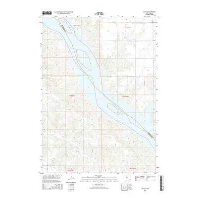
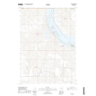
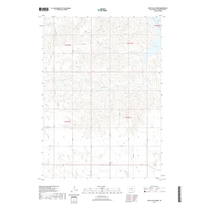
2021 Map of Lake Andes SW
USGS Topo · Published 2021About this map
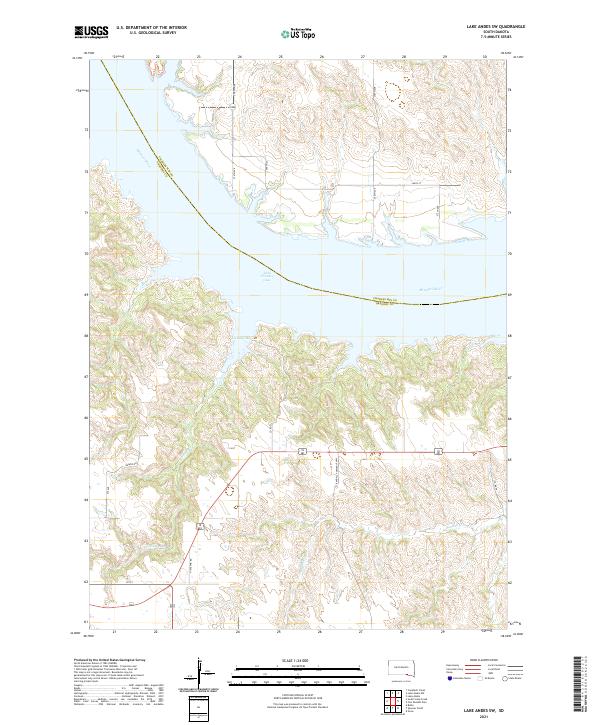
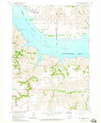
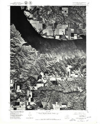
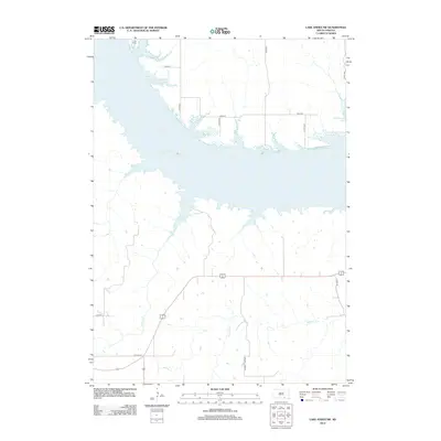
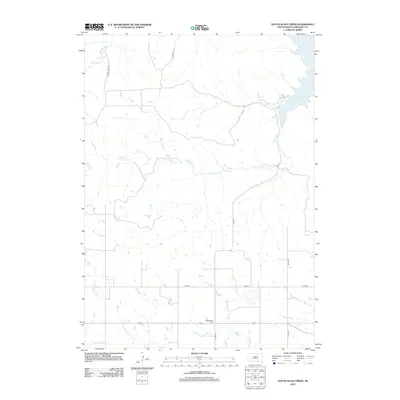
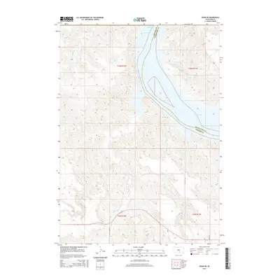
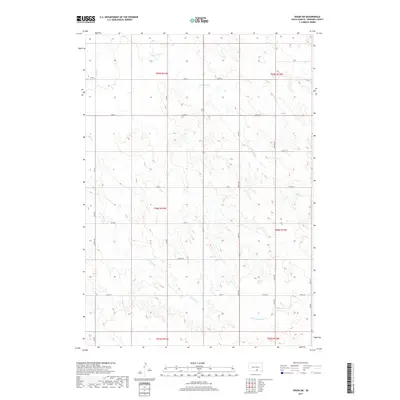
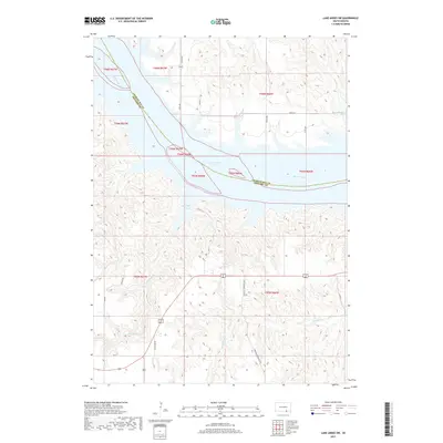
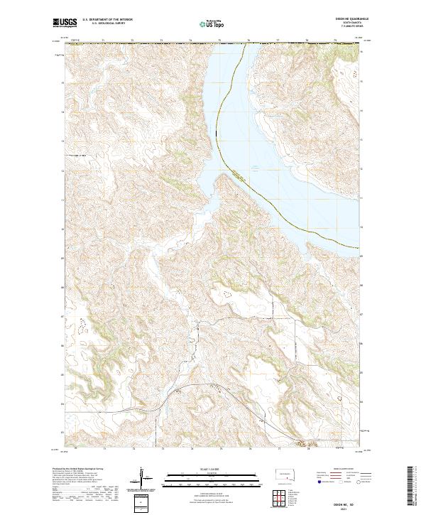
Lake Francis Case and the wide channel of the Missouri River define the northern half of this landscape along the boundary between Charles Mix and Gregory Counties. The terrain south of the river is marked by intricate drainage patterns and deep coulees, where Joe Days Cr flows into Joe Days Bay. The road network reflects the rural township structure of south-central South Dakota, with routes like Randall Township Hwy and Highland Rd connecting high-plateau farmsteads. Surveyed in 2021, the map captures the contemporary shoreline of the reservoir and the agricultural infrastructure surrounding the intermittent flow of Randall Cr. Local landmarks such as Beaver Rd and several numbered section roads provide specific points of reference for tracing modern property boundaries and rural development near the river valley.
Find a feature on this map
21 named features on this map. Tap any name to fly to it.
Don’t see what you’re looking for? This feature index may not catch every label — zoom into the map to look around manually.
Map Details
Editions of this 2021 Lake Andes SW Map
This is the sole edition of this map. No revisions or reprints were ever made.
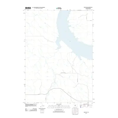
Historical Maps of White Swan Township Through Time
70 maps found

1964 Carlock
Gregory County, SD
1964 Gregory SE
Gregory County, SD
1964 Herrick NE
Gregory County, SD
1964 Herrick NW
Gregory County, SD
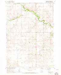
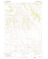
1964 Lake Andes SW
Gregory County, SD
1964 South Scalp Creek
Gregory County, SD
1964 Whetstone Bay
Gregory County, SD
1971 Dixon
Gregory County, SD

1971 Dixon NE
Gregory County, SD
1971 Dixon SE
Gregory County, SD
1971 Dixon SW
Gregory County, SD

1971 Lucas
Gregory County, SD
1971 Lucas SE
Gregory County, SD
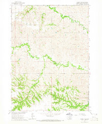
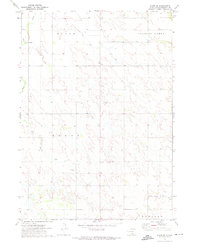
1977 Lake Andes SW
Gregory County, SD
2012 Carlock
Gregory County, SD
2012 Dixon
Gregory County, SD
2012 Dixon NE
Gregory County, SD
2012 Dixon SE
Gregory County, SD
2012 Dixon SW
Gregory County, SD
2012 Gregory SE
Gregory County, SD
2012 Herrick NE
Gregory County, SD
2012 Herrick NW
Gregory County, SD
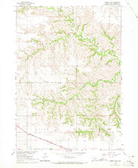
2012 Lake Andes SW
Gregory County, SD
2012 Lucas
Gregory County, SD
2012 Lucas SE
Gregory County, SD
2012 Saint Charles
Gregory County, SD
2012 South Scalp Creek
Gregory County, SD
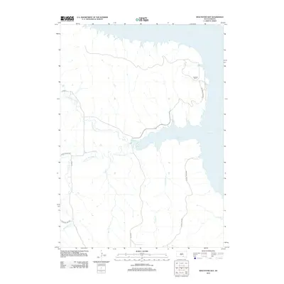
2012 Whetstone Bay
Gregory County, SD
2015 Carlock
Gregory County, SD
2015 Dixon
Gregory County, SD
2015 Dixon NE
Gregory County, SD
2015 Dixon SE
Gregory County, SD
2015 Dixon SW
Gregory County, SD
2015 Gregory SE
Gregory County, SD
2015 Herrick NE
Gregory County, SD
2015 Herrick NW
Gregory County, SD
2015 Lake Andes SW
Gregory County, SD
2015 Lucas
Gregory County, SD
2015 Lucas SE
Gregory County, SD
2015 Saint Charles
Gregory County, SD
2015 South Scalp Creek
Gregory County, SD
2015 Whetstone Bay
Gregory County, SD
2017 Carlock
Gregory County, SD
2017 Dixon
Gregory County, SD
2017 Dixon NE
Gregory County, SD
2017 Dixon SE
Gregory County, SD
2017 Dixon SW
Gregory County, SD
2017 Gregory SE
Gregory County, SD
2017 Herrick NE
Gregory County, SD
2017 Herrick NW
Gregory County, SD
2017 Lake Andes SW
Gregory County, SD
2017 Lucas
Gregory County, SD
2017 Lucas SE
Gregory County, SD
2017 Saint Charles
Gregory County, SD
2017 South Scalp Creek
Gregory County, SD
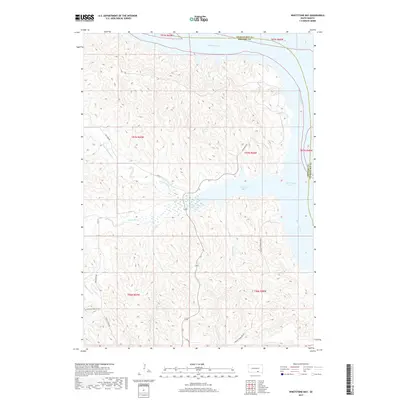
2017 Whetstone Bay
Gregory County, SD
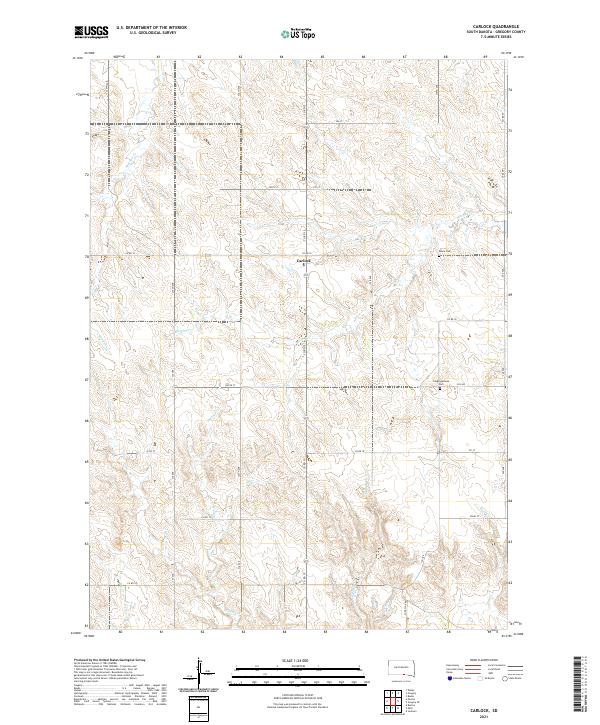
2021 Carlock
Gregory County, SD
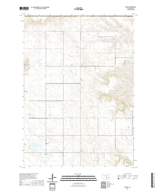
2021 Dixon
Gregory County, SD
2021 Dixon NE
Gregory County, SD
2021 Dixon SE
Gregory County, SD
2021 Dixon SW
Gregory County, SD
2021 Gregory SE
Gregory County, SD
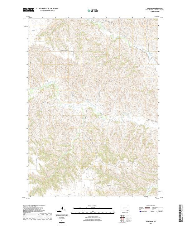
2021 Herrick NE
Gregory County, SD
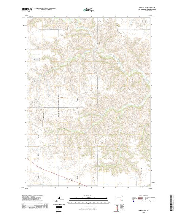
2021 Herrick NW
Gregory County, SD
2021 Lake Andes SW
Gregory County, SD
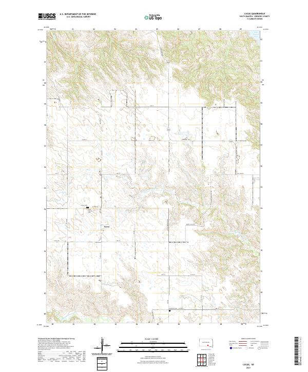
2021 Lucas
Gregory County, SD
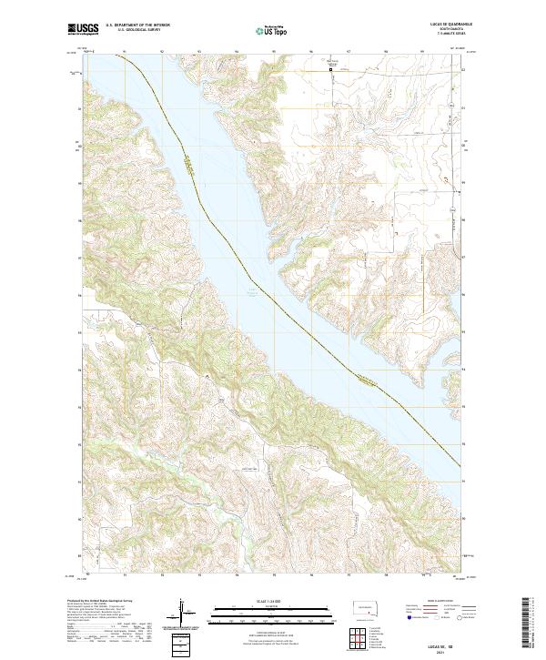
2021 Lucas SE
Gregory County, SD
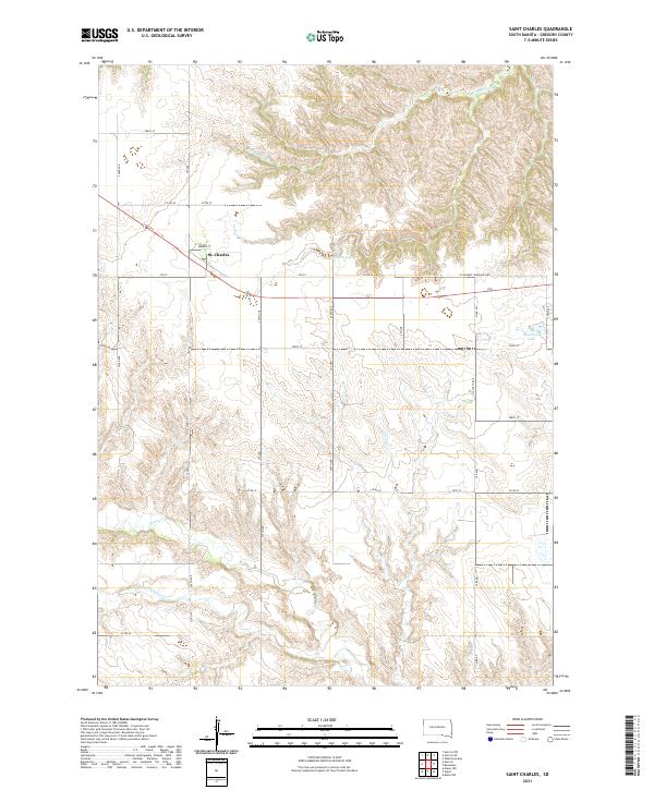
2021 Saint Charles
Gregory County, SD
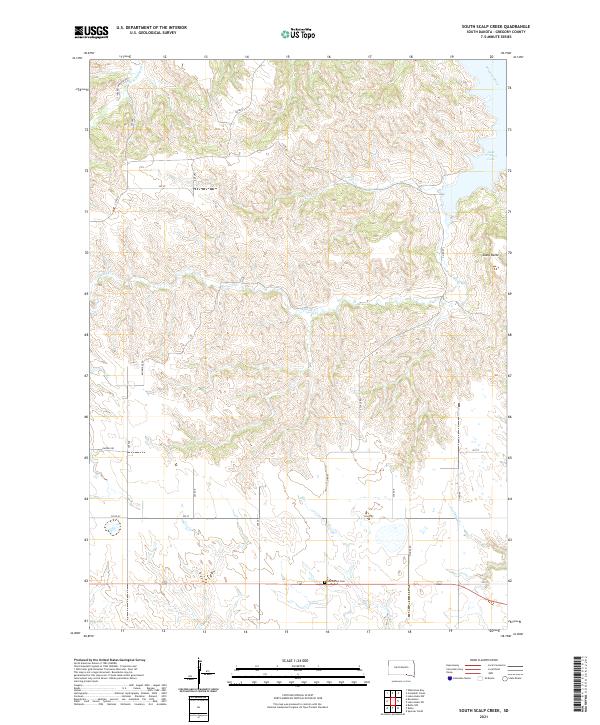
2021 South Scalp Creek
Gregory County, SD
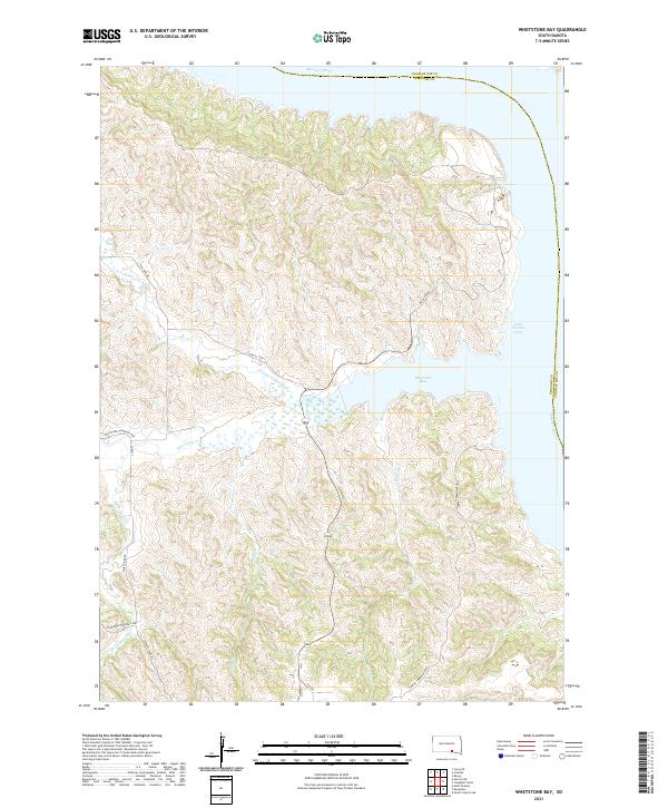
2021 Whetstone Bay
Gregory County, SD