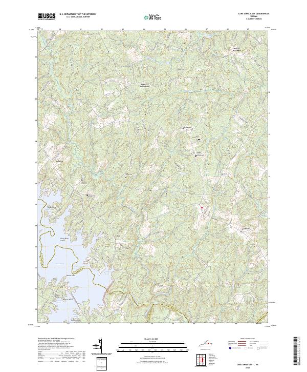
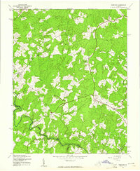
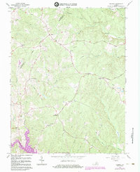
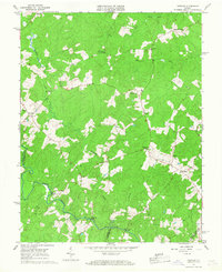
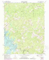
2022 Map of Lake Anna East
USGS Topo · Published 2022This historical map portrays the area of Lake Anna East in 2022, primarily covering Spotsylvania County as well as portions of Louisa County, Caroline County, and Hanover County. Featuring a scale of 1:24000, this map provides a highly detailed snapshot of the terrain, roads, buildings, counties, and historical landmarks in the Lake Anna East region at the time. Published in 2022, it is the sole known edition of this map.
Find a feature on this map
128 named features on this map. Tap any name to fly to it.
Don’t see what you’re looking for? This feature index may not catch every label — zoom into the map to look around manually.
Map Details
Editions of this 2022 Lake Anna East Map
This is the sole edition of this map. No revisions or reprints were ever made.
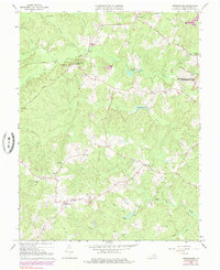
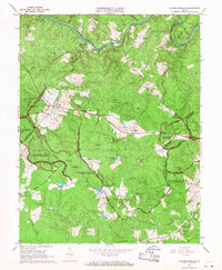
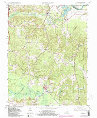
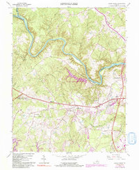
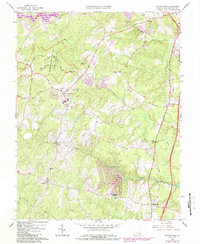
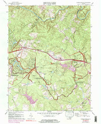
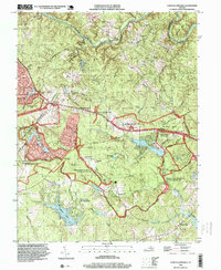
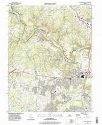
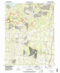
Historical Maps of Louisa County Through Time
32 maps found

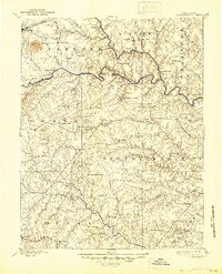
1887 Spottsylvania
Spotsylvania County, VA
1892 Spotsylvania
Spotsylvania County, VA
1942 Belmont
Spotsylvania County, VA
1942 Brokenburg
Spotsylvania County, VA

1942 Guinea
Spotsylvania County, VA
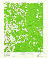
1942 Partlow
Spotsylvania County, VA
1942 Spotsylvania
Spotsylvania County, VA

1943 Chancellorsville
Spotsylvania County, VA

1943 Salem Church
Spotsylvania County, VA
1944 Chancellorsville
Spotsylvania County, VA

1944 Salem Church
Spotsylvania County, VA
1949 Guinea
Spotsylvania County, VA
1966 Belmont
Spotsylvania County, VA
1966 Brokenburg
Spotsylvania County, VA
1966 Chancellorsville
Spotsylvania County, VA
1966 Guinea
Spotsylvania County, VA
1966 Partlow
Spotsylvania County, VA
1966 Salem Church
Spotsylvania County, VA
1966 Spotsylvania
Spotsylvania County, VA
1973 Chancellorsville
Spotsylvania County, VA
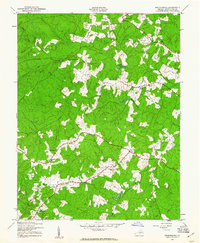
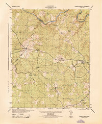
1973 Lake Anna East
Spotsylvania County, VA

1983 Fredericksburg
Spotsylvania County, VA
1994 Chancellorsville
Spotsylvania County, VA
1994 Salem Church
Spotsylvania County, VA
1994 Spotsylvania
Spotsylvania County, VA
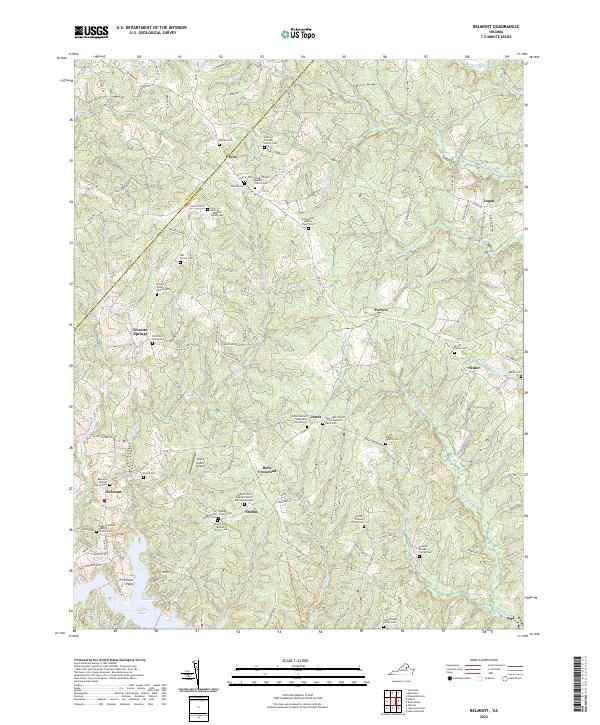
2022 Belmont
Spotsylvania County, VA
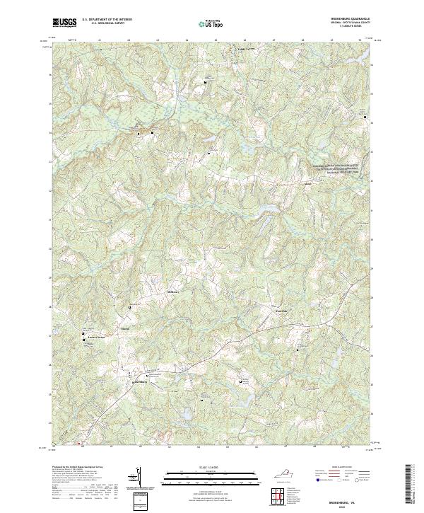
2022 Brokenburg
Spotsylvania County, VA
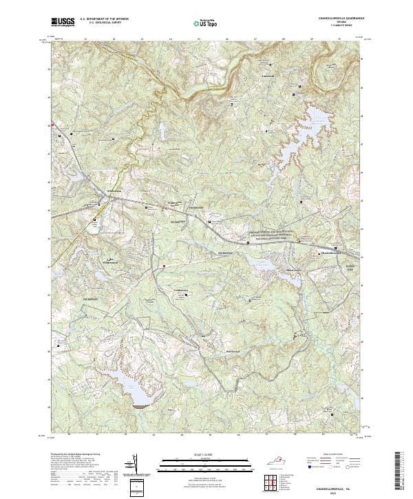
2022 Chancellorsville
Spotsylvania County, VA
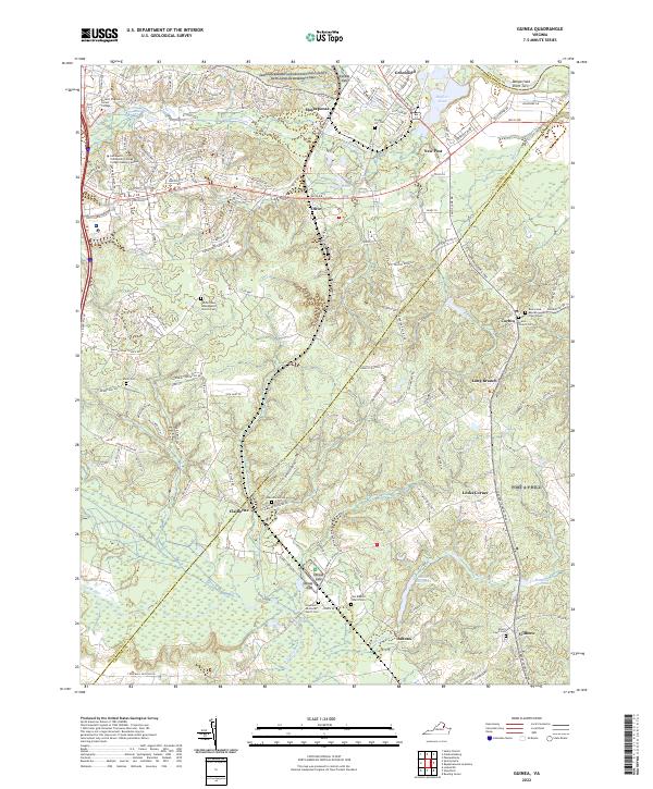
2022 Guinea
Spotsylvania County, VA
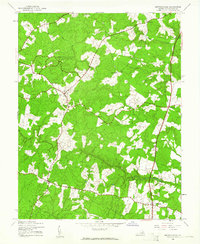
2022 Lake Anna East
Spotsylvania County, VA
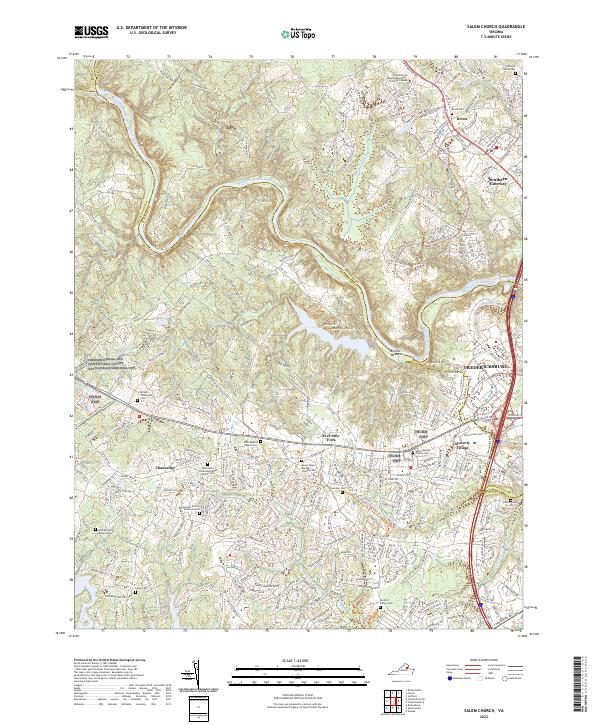
2022 Salem Church
Spotsylvania County, VA
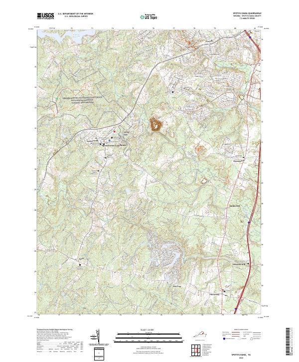
2022 Spotsylvania
Spotsylvania County, VA